on
Kungsleden
Kungsleden - a hike through the Swedish Arctic in autumn

This is a translation of the original article: Kungsleden.

A bit of lyricism
Thursday, September 9. I’m on edge. In 6 hours I need to go to Kyiv’s Zhulyany airport. And I categorically do not want to go there. Basically nothing is ready - unclear what’s with the knee, Poland’s vaccination requirements are murky, the route is poorly calculated, part of the gear isn’t checked or bought. All I want is to take the cat, the laptop, crawl under the blanket and spend the next two weeks watching TV shows.
Around 3 AM I call a taxi. For the tenth time I check if I’ve closed all the taps and turned off all the appliances. I take the heavy backpack, jump into the car, remember something, go back, check everything again and sit down again. About 15 minutes through the empty city and I’m standing in front of the airport entrance. At the entrance - checking for masks and (I think) certificates. I wrap the backpack in plastic. After about 30 minutes I check my bag, check in and go to the gate. Now yes, there’s a feeling that something is beginning. Boarding and a short flight to Poland. At customs they don’t ask anything about certificates. Even a bit annoying, considering how much time I spent on this paperwork crap. An hour and a half of waiting - and a short flight to Arlanda airport (near Stockholm). Mild freaking out from local prices (the most expensive cola and the most expensive burger of my life), a short walk around the city, buying maps and camping gas - and to the station. The start point is still 16 hours of travel to the north.
Ahead - a bit of suffering. Since I bought the tickets a week before departure, the choice was so-so. No spots left in the sleeper and for just 70 dollars I bought a ticket in a seated carriage. And…. Usually Ukraine buys various junk in Europe, somehow washes/cleans it and uses it for another 10-20 years. This carriage kind of hinted that Ukraine somehow managed to level up this scheme and pawn off worn-out Ukrainian Railways carriages to Sweden. I find it hard to explain the existence of carriages in Sweden that are so-so even for Ukraine any other way.
So, Friday evening. Two days without sleep. The brain is no longer very picky about how to sleep. An eye mask and a sweater under the head are enough. The only thing in the way is a neighbor who is peeling tangerines slowly and with sadistic pleasure.
4 AM. A crimson dawn over the tundra, which still looks like Ukrainian nature - ordinary trees, birches and all that. Already yellow though.
Sleepy, I tumble out of the train at Murjek station.
Early morning, cold. The grass is covered in frost. A small station. An hour later a bus arrives that takes me and about 10 other people to Kvikkjokk. This is where I start.
Why solo?
I just wanted to be alone for a bit.
First, from time to time I posted messages on my FB looking for companions. Responses over the whole time - 0. And I didn’t want to go with just anyone anyway.
Second, few people can go for two and a half weeks.
Third, the logistics even for one person turned out to be intricate.
Fourth, I really wanted to be alone and gather my thoughts. And when you travel with someone, you’re always more connected to your companions than to the surrounding world. And that gets in the way of looking around. And this time I really wanted to look at the world.
The knee
Oh, that’s a whole separate story. Or a TV series. Just as dumb as, for example, The Blacklist. When it seems like that’s it, the end. Everyone’s killed, everyone is avenged - we’re done. But hell no! 50 more episodes ahead. The dead aren’t completely dead, the wrong people were avenged, and not all of them. And here’s another plot twist out of nowhere. Then another. Then a whole pile of them.
3 years ago during a hike in the Fann Mountains (Tajikistan) on a descent a strong pain appeared in one knee, which very quickly turned into hellish pain. Feeling like something is broken there or a knife is stuck in. Every step hurt like hell. Over three years I visited many doctors. What didn’t they prescribe me - massages, procedures, injections, pills, exercises. But the procedures only had a positive effect on the clinics’ budgets. From their point of view everything is tip-top. But I need to go on a hike! To the mountains! I want to walk! I want to sit on a pass again and drink tea, looking at rows of mountain ranges to the very horizon.
God helps those who help themselves (an excellent motto for our Ministry of Health!). And so, in the process of gloom and doom I started watching lectures by sports doctors, traumatologists, rehab specialists and physical therapists. Got advanced knowledge of anatomy and knee training, possible diseases etc. One “but” remained - personally, all this knowledge didn’t help me at all. And then this summer another doctor was recommended to me. With a sour-skeptical face I went. They sent me for procedures. I went. Took a backpack, threw 15 kg of load into it (water bottles and bags of cat litter) and went to conquer the hills of Kyiv. Without oxygen or porters of course. Only hardcore! The goal - to make the knee hurt. And how surprised I was when the knee didn’t hurt! At all. I got tired of carrying this junk up and down for 4 hours. The knee was fine. Okay. Went on a short hike. The knee whined a bit, but overall fine. Roughly around this time the idea about Kungsleden was born. Why sit at home?)
Total:
diagnosis - ITBS. Not directly related to the knee joint.
what I used - stretching exercises for muscles connected to the fascia, massage gun, chondroitin-glucosamine (dunno if it made sense. According to research - almost none), shockwave therapy and muscle strengthening exercises.
on the hike the knees reminded me of their existence a couple of times, but never hurt.
Science Medicine, bitches!
Hope it won’t hurt on the next hike either.
I don’t want to give any specific advice, since knees are a complicated thing. And what helped me might only make it worse for another person. Important remark: our doctors are useless.
What? Where? When?
I found out about Kungsleden completely by accident about 3 years ago when I was trying to find something interesting around Europe. The Arctic North, endless tundra, rivers, lakes, hundreds of kilometers of routes, absence of people - all inclusive for someone who doesn’t like crowds. For reasons of lack of either time, health, or money, the trip was postponed three years in a row. This year everything came together - managed to fix the knee, take vacation and update the gear. Decided - I’m going. Don’t know exactly how, but I’m going.
Hung a large map of Scandinavia on the wall, took guidebooks from the bookshelf and dove into Google. Lots of transfers, unclear moments with boat crossings, camping gas, food and COVID certificates, attempts to fit the logistics into minimal time. Several times I thought about dropping the idea. But…. It all worked out!
Sweden and tourism
Before this trip I knew exactly two facts about Sweden - one about bad weather, the other about high prices. Knew nothing about tourism and nature. Also heard that Swedes don’t actually like the Karlsson-on-the-Roof character much.
Kungsleden - “the king’s trail” translated from Swedish - the most famous route. Stretches for more than 400 km from Hemavan to Abisko. The route can be done both north to south (the more popular option) and south to north. Pros of the latter - the sun shines on your back (useful if you use a solar panel to charge gadgets), you avoid crowds (you pass each other since you’re going opposite directions). Roughly half the route is above the Arctic Circle.
Overview map of Kungsleden:

The route is roughly split into three parts:
-
northern - Abisko to Kvikkjokk - 216 km
-
central - Kvikkjokk to Ammarnäs - 179 km
-
southern - Ammarnäs to Hemavan - 79 km
In the northern and southern parts every 15-20 kilometers there are huts and you can go without a tent. Some huts have small shops. In Kvikkjokk and Saltoluokta there are full tourist stations with electricity, shower, shop, cafe etc. In the central part there are no huts and you can’t manage without a tent.
You can get onto the route at several points - Abisko, Hemavan, Singi (via Kebnekaise), Kvikkjokk and a few others.
I got there by train to Murjek station, from there by bus to Kvikkjokk. From Abisko there’s a direct train to Stockholm.
I’m doing the northern part + Kebnekaise + Tarfala Valley. About 240 km total.
Maps can be bought in Stockholm (see the link to the tourist shop below). For my route I needed 3 pieces (at 169 SEK / 20 USD each).
Route variations
-
from Tarfala Valley you can go through the glaciers and return to the main route (instead of going back via Kebnekaise)
-
from Singi you can go to Kebnekaise and then to Nikkaluokta. From there get to Kiruna airport.
-
in season you can climb Kebnekaise
- from Kvikkjokk you can go into Sarek National Park
- routes around Abisko
- routes around Alesjaure
in Sweden there are a lot of STF huts (Swedish Tourist Association) and you can put together a route for any taste
Weather
Tundra is usually damp, cold and windy. I got lucky. Rain only once, but the wind at night was sometimes very strong. On the second-to-last night it tore the tent. True, the tent was pitched a bit dumb - across the wind. While I tried to take it down - the hole got even bigger. In September it’s already cold enough and around Tjäktja Pass standing water froze about two centimeters. Many streams froze completely.
One way or another gear needs to be chosen assuming it’ll be cold, damp and windy. Good waterproof clothes and boots are mandatory.
Wildlife
In summer there’s a lot of midges. In September - no.
Bears live here, but it’s hard to run into them. Attacks are extremely rare. No practical danger.
There are reindeer, skittish like kittens.
Terrain
In my imagination the tundra looks like this:

in reality it was like this:

There are plenty of mountains in Sweden (and especially in neighboring Norway). They’re not high (the highest - Kebnekaise - 2120 m), but a lot more rocky and steep than our native Carpathians. I’d guess these mountains are younger and haven’t had time to “fall apart”. In many places you can watch the destruction process - a big rocky mountain from which huge boulders break off, which in turn crack and crumble into smaller ones - down to river pebbles.
Topo map of the region:

A couple of times there were fairly serious climbs. The hardest - the climb into Tarfala Valley. Overall the terrain is simple. But the mileage is decent - my Mi Band often counted more than 40000 steps a day. The headache was the boat crossings (4 in total), which you need to catch by 4 or 5 PM.
A bit about tourist stations
Kungsleden is the most famous of the Swedish routes. But far from the only one. Across the country there are many tourist huts (https://www.swedishtouristassociation.com/discover/?facilities), you can pitch a tent almost everywhere, so you can make whatever route you want.
I almost always stayed out in the open. Wanted silence, nice views and solitude.
In simple huts there’s usually a small shop (at the end of the season there’s almost nothing left though), a kitchen (with a gas stove and cookware), a couple dozen sleeping spots, a toilet. Prices in the shop are 2-3 times higher than in the country. For example, freeze-dried meals that cost 7 dollars in Stockholm are sold in Saltoluokta for 15 dollars. But there was no choice :(
You can either sleep inside or pitch a tent nearby and use the hut facilities at certain hours. Cost - see the link above.
How to get there

Attempts to figure out how to get to Kvikkjokk and return from Abisko took a lot of time. I could have flown out on Friday, but then I’d have been stuck in Murjek or Jokkmokk - no buses on weekends. On weekends you also can’t buy camping gas - shops are closed. If you don’t go to Murjek but fly to Gällivare, you can buy gas, but you won’t get to the start of the route - no buses on weekends. While I was solving this puzzle, tickets for trains and planes started running out and getting more expensive at the same time. A week before moment X I moved the departure by a day (from Friday to Thursday), decided to buy camping gas in Stockholm, took a train ticket to Murjek (leaves at 5 PM from Stockholm, arrives early morning), a bus from Murjek to Kvikkjokk and a plane for the night from Thursday to Friday. The puzzle came together. Getting back from Abisko is simple - there’s a direct train to Stockholm from there.
Getting to the station from Arlanda airport can be done by bus, regular train, or Arlanda Express (299 SEK / 35 USD). I used the last one. 20 min at 200 km/h - and you’re at the station. Ticket can be bought at one of the many yellow machines.
As a rule I tried to walk a couple of kilometers past a hut (marked with “+” in the schedule below) and pitch the tent around 7 PM. If there’s a crossing - you need to make it by 4 or 5 PM. And the main thing - the overnight spot should be beautiful ).
Schedule
| day | place names | comments |
|---|---|---|
| 1 | Kvikkjokk - Parte+ | transfer from Murjek to Kvikkjokk by bus, overnight in the forest |
| 2 | Parte - Aktse | barely made the crossing, pitched tent on the hut grounds |
| 3 | Aktse - Skierfe - shelter at the crossing | hard day - exhausting climb to Skierfe and long walk to the crossing, which I didn’t make. Pitched tent near the crossing. Crossed next morning around 7 AM |
| 4 | crossing to Sitojaure - Saltoluokta | crossing in the morning, small climb onto the plateau, overnight at the campsite. There’s a shower, electricity, wifi, shop. Bought more food. |
| 5 | Saltoluokta - Vakkotavare+ | lazy day. Crossing after lunch, then - bus to Vakkotavare station. From it - climb onto the plateau and overnight. |
| 6 | Vakkotavare++ - crossing of lake Teusajaure - Teusajaure STF+ | long wait for the crossing, after the crossing - a couple more hours of walking. Overnight on the plateau. Bought more food at STF |
| 7 | Teusajaure+ - Kaitumjaure + Singi | overnight not far from STF Singi. |
| 8 | Singi-Kebnekaise-Tarfala Valley | the hardest day. Big mileage and big elevation gain. In Tarfala Valley it’s fairly hard to find a tent spot - stones everywhere |
| 9 | Tarfala Valley - Kebnekaise - Singi- | walked slowly. stopped about an hour and a half before Singi |
| 10 | Singi- - Singi - Salka+ | camp a couple of kilometers after Salka, closer to the pass |
| 11 | Salka+ - Tjäktja pass - STF Tjäktja-Alesjaure– | the pass, camp two hours before STF Alesjaure |
| 12 | Alesjaure– - Abiskojaure | overnight in the emergency room of STF Abiskojaure (because of the torn tent) |
| 13 | Abiskojaure - Abisko | walk into civilization - STF Abisko |
Day by day
Kvikkjokk - Parte+
Early morning. In the whole carriage about a dozen people - someone going to Sarek Park, someone south (toward Hemavan), someone like me - north. I remember one strange pair - dressed in jeans, dragging two backpacks each and a couple of bags. Sleepy, I tumble out of the train at Murjek station. Mornings are already cold - grass covered in frost patterns. The bus is in about an hour, so for now I lazily wander around and look at the nearby houses.

The bus takes a few hours to get to Kvikkjokk. Most people get off here.
A couple hundred meters along the road, left turn - dirt road. Soon I see a sign familiar from books: Kungsleden. So it begins!

First steps on the route. The most ordinary, slightly yellowed forest. Almost like October in a Kyiv city park. A trail runner who arrived on the same bus as me runs past.
On sections that go through bogs, boards are often laid
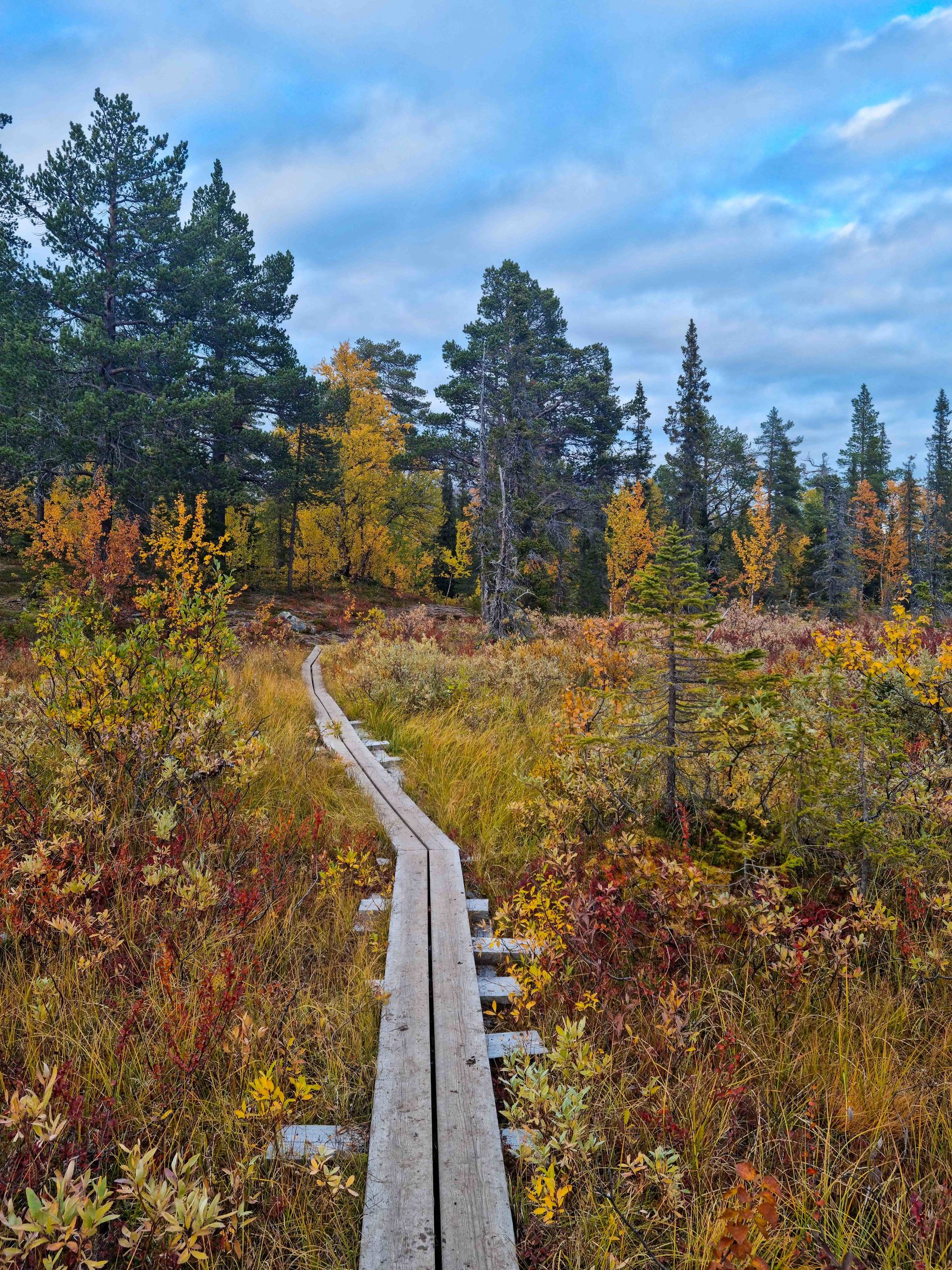
Local signs are very clear and won’t let you get lost. You’ll end up somewhere for sure!

Only mid-September - but everything is already in autumn colors.
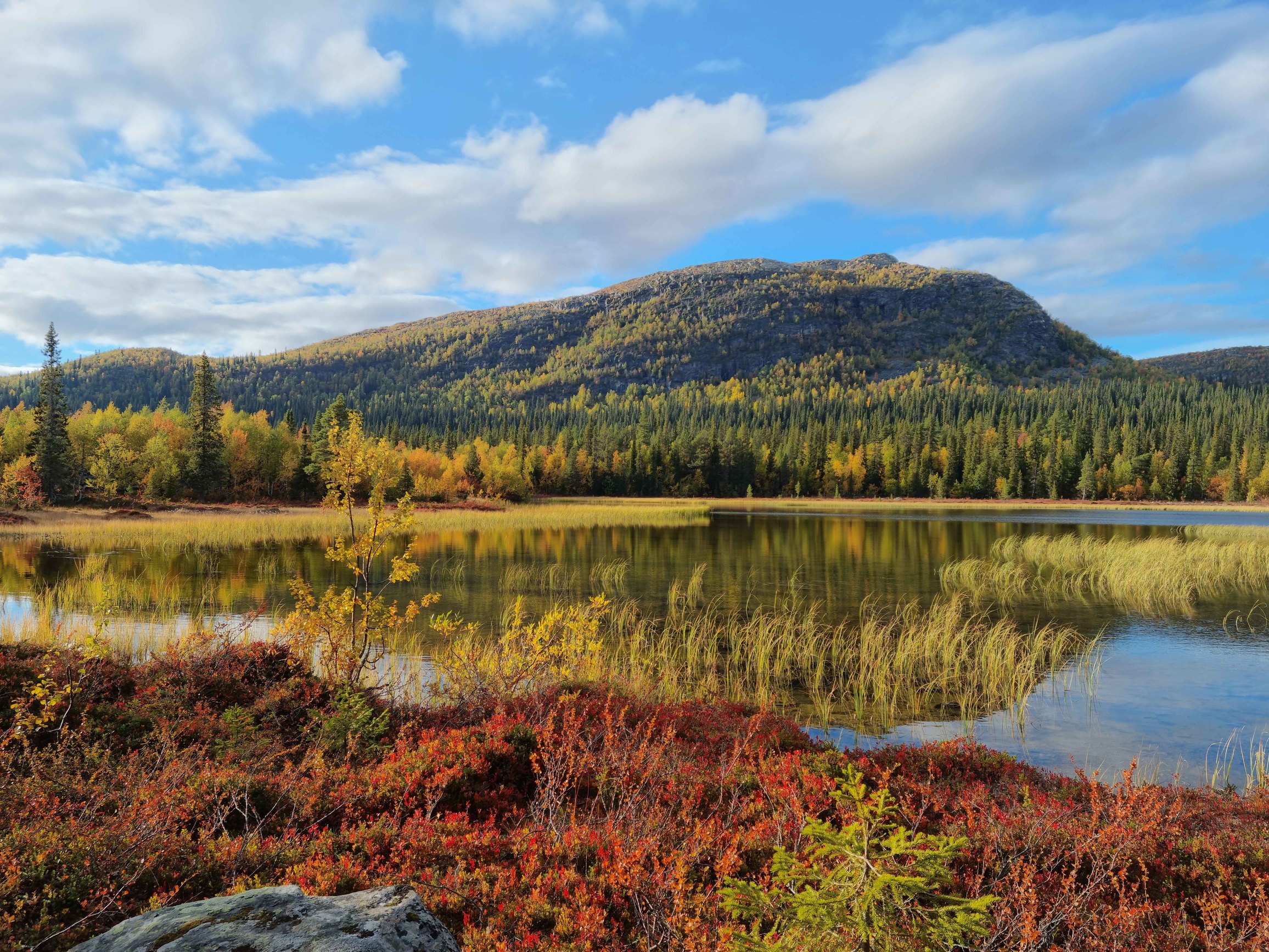
snack in a nice place
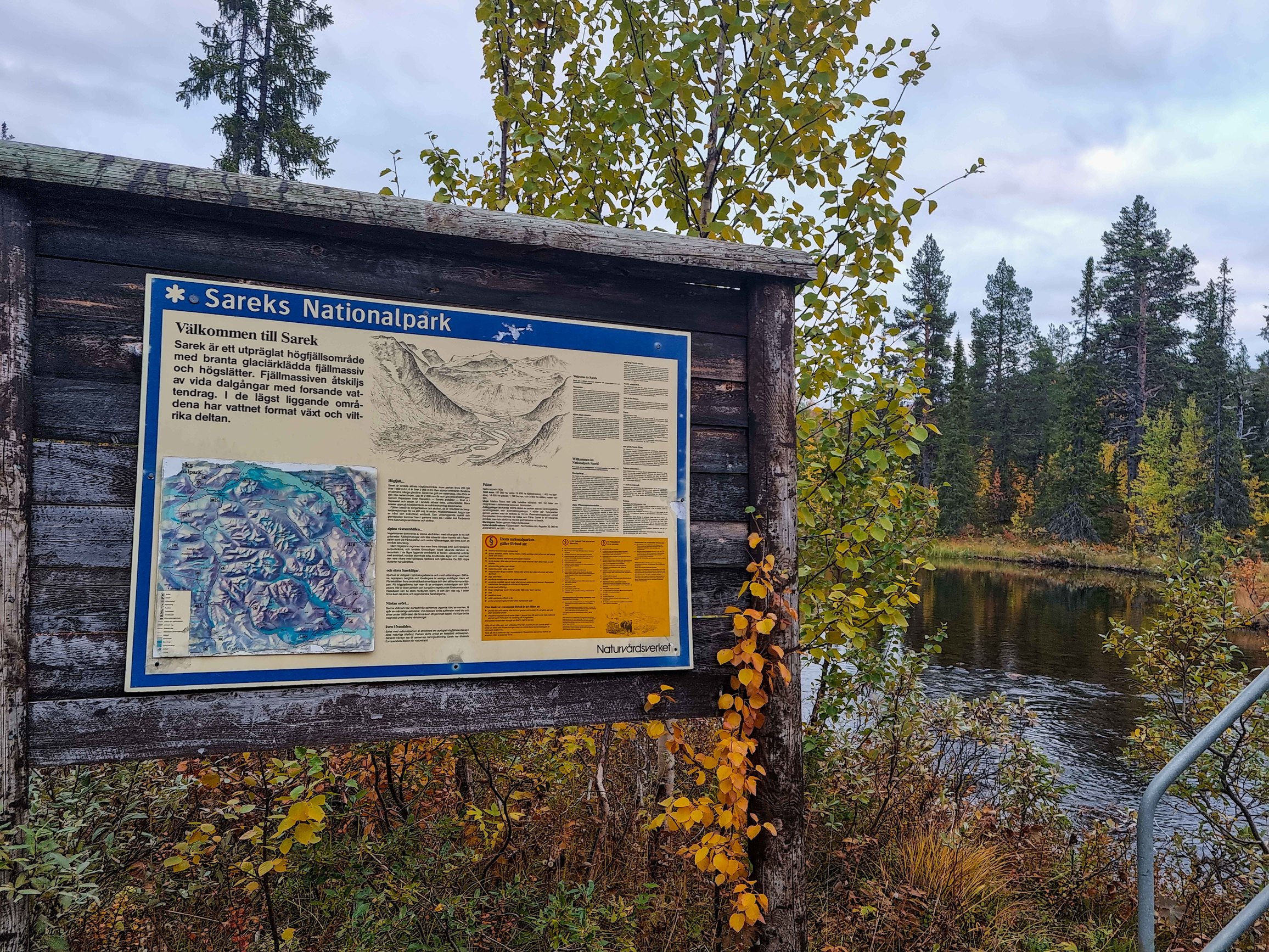
Turn to Sarek park. Pity, but not this time.
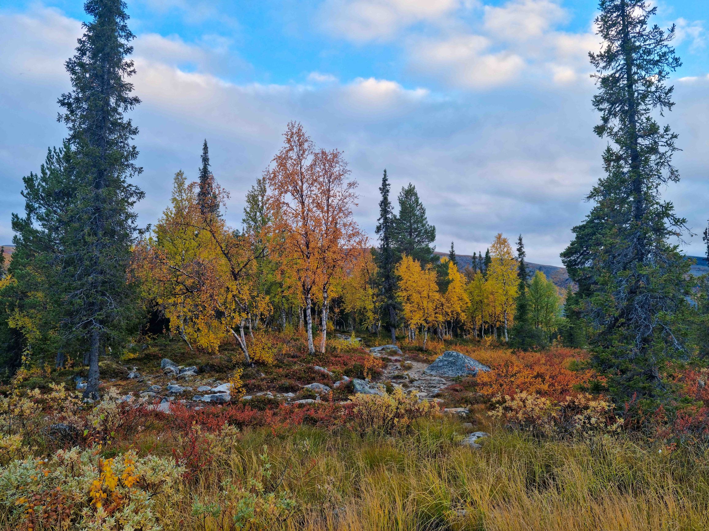
I pass the turn to Parte hut, but it’s still early enough - decide to walk another hour and a half. Pitch the tent in this gorgeous spot. Autumn forest, a stream nearby, rocks, boulders and silence. Near the camp there was a place for a fire. That evening I had the only fire in two weeks. All the following days there was no wood. Cook dinner, drink tea.
Crawl into the tent, turn on a usb light on the powerbank, put on some Melnitsa on the phone and pull out the Kindle. Had a plan to read something in German. But I’m reading Harry Potter and the Methods of Rationality. Cozy!
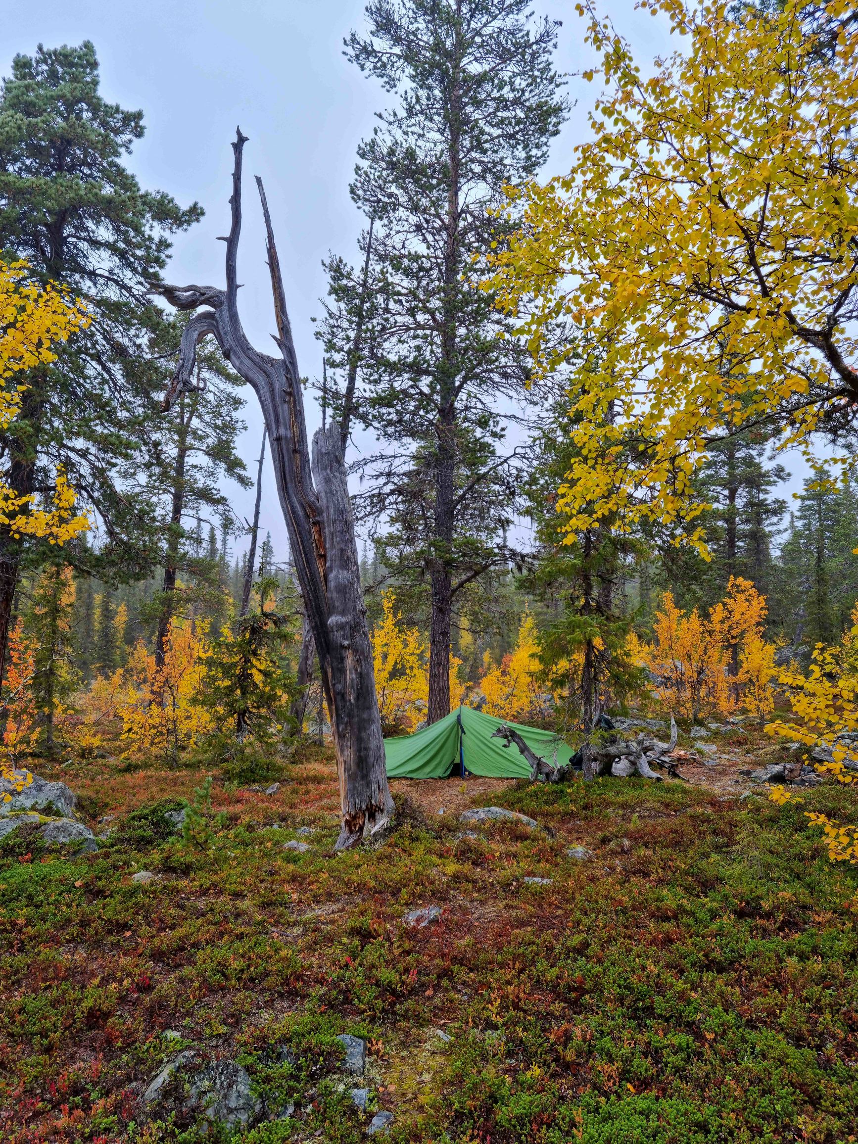
And suddenly - such a heavy dull sound as if someone sat down next to the tent.
@#$@@! Immediately all the news and stories about hungry cannibal bears pop into my head, in whose stomachs they found tourists’ arms and legs together with tents and backpacks.
Dead silence.
About five minutes pass.
Nothing happens. Slowly unzip the tent, look out…. And see the “bear” - my backpack that fell on its side, which while falling produced the sound that made me think I was about to die 
Parte+ - Aktse
Forward!
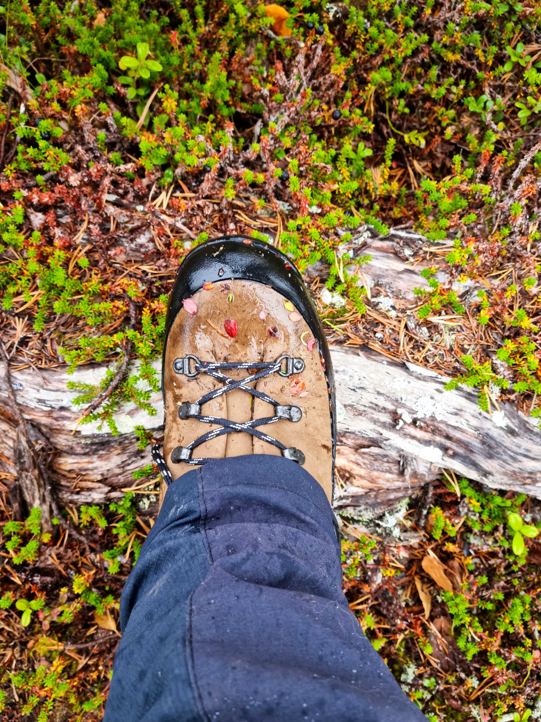
Today will be a bit hard
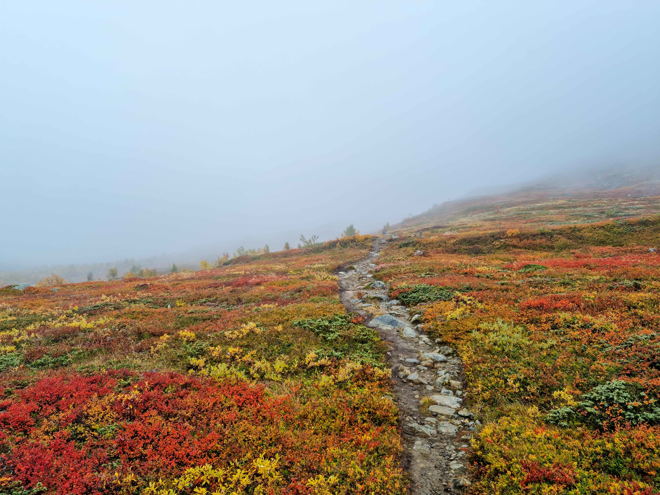
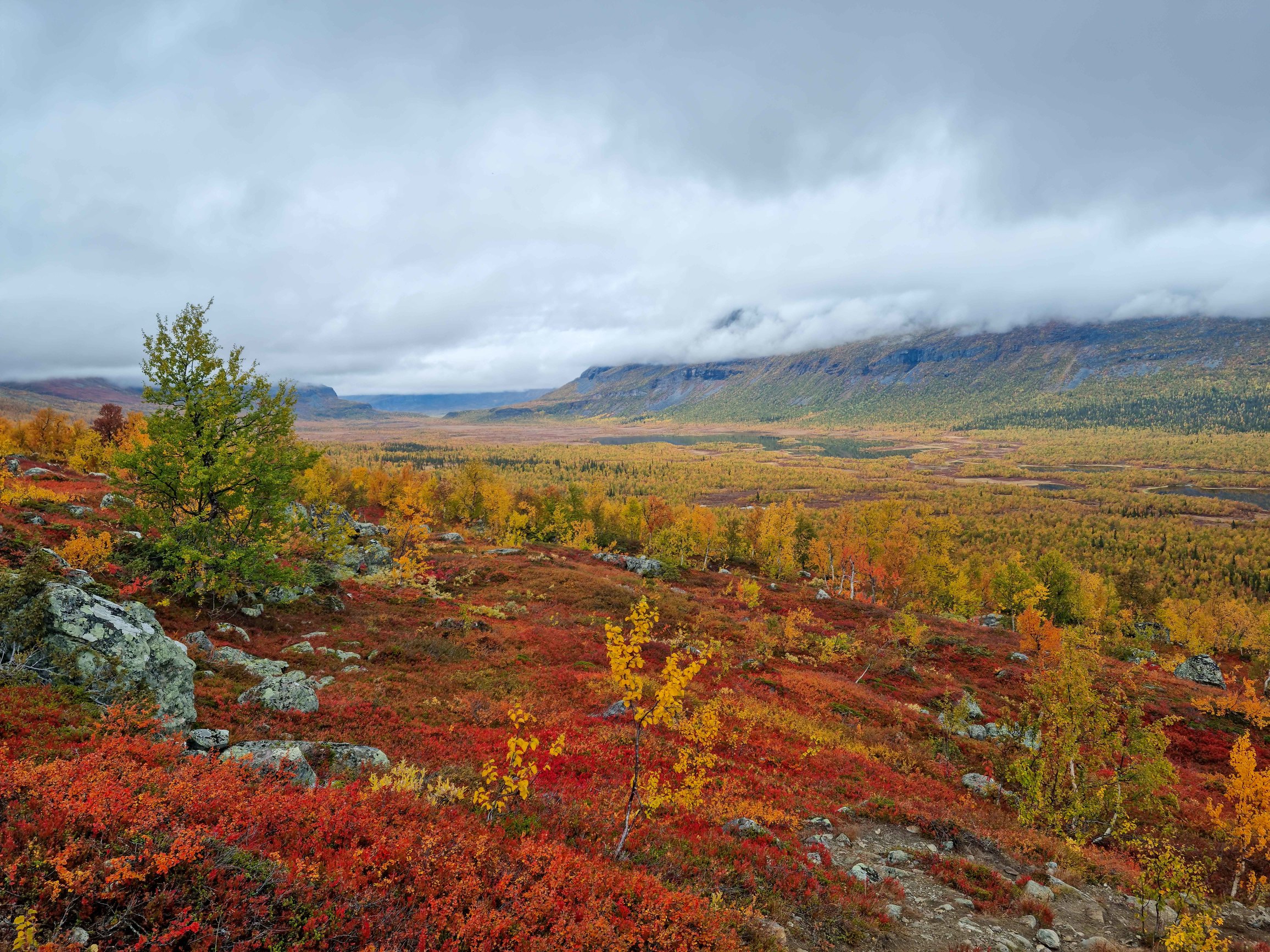
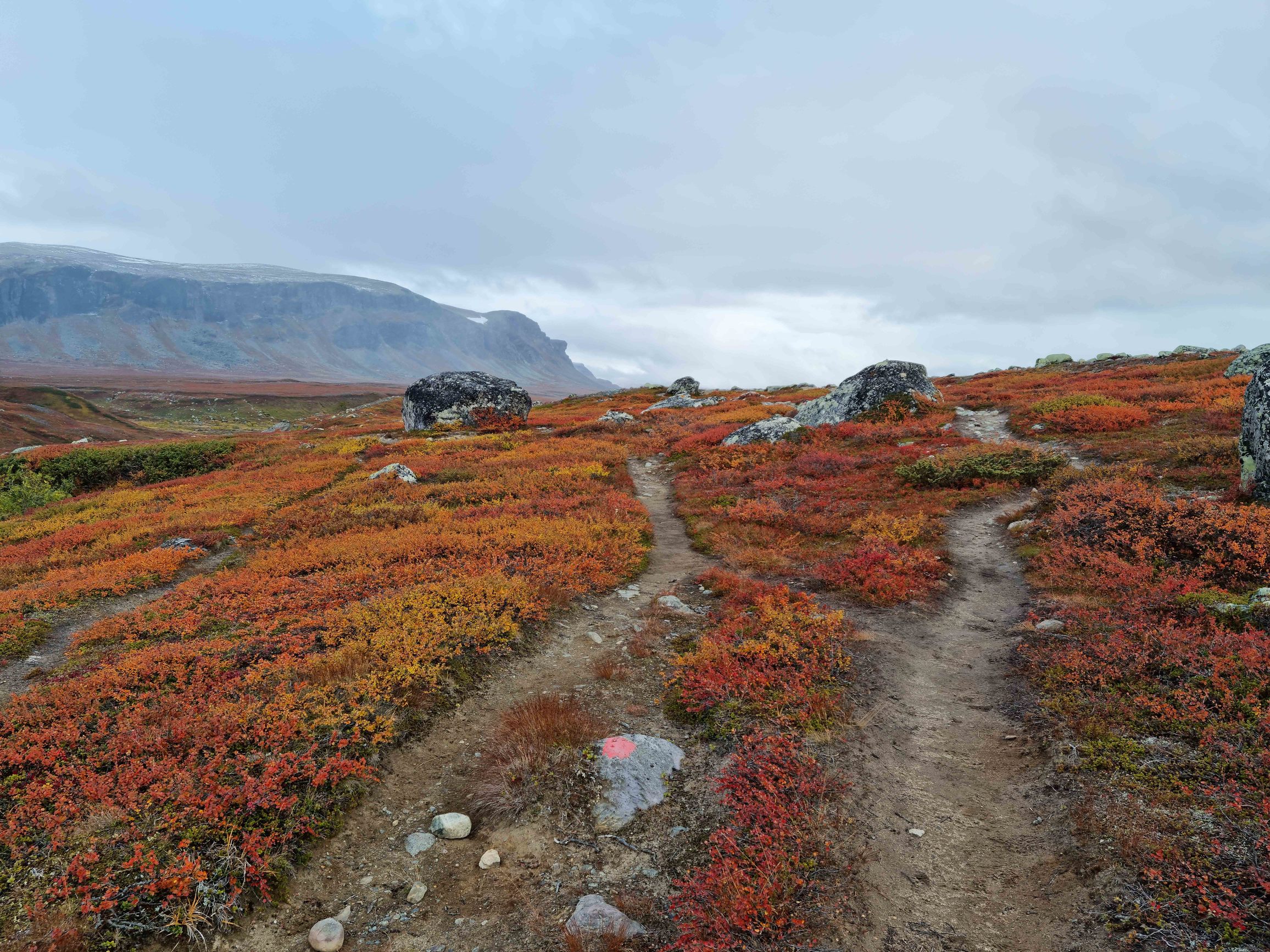
The trail still goes through the forest with some climb. I jump over boulders and come out onto a deserted highland. Everything in fog. To the left and far ahead - small mountains. Underfoot - harsh Arctic forest. About ankle-deep :) And here I see autumn tundra for the first time - all the vegetation in all kinds of colors - red, green, yellow, crimson. And every shade between them.
“Мы выходим по приборам на великую глушь!” (roughly: into the deep wild - can’t see much, just map, compass and GPS)
And then I look at the watch - already a bit late. And the crossing is at 5 PM. And I’m still who knows where. Long descent and a long road through the forest.
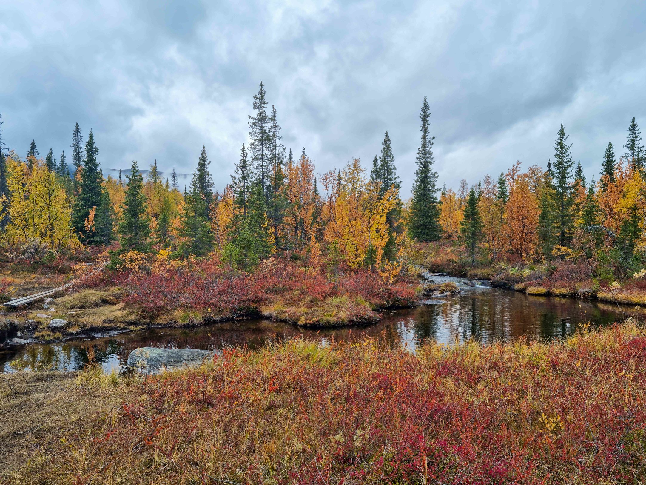
Made it!
Near the pier I meet a girl from Lithuania. We chat about the trek, the virus (of course) and drink tea.
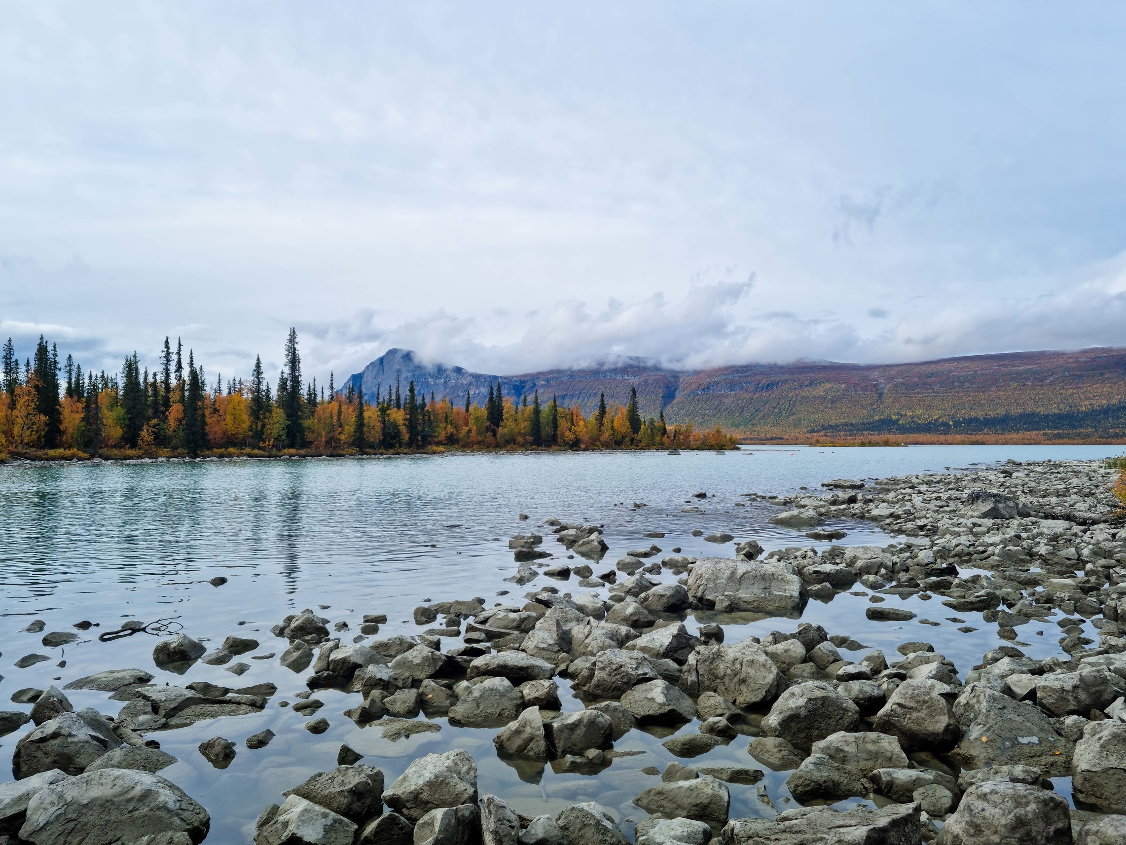
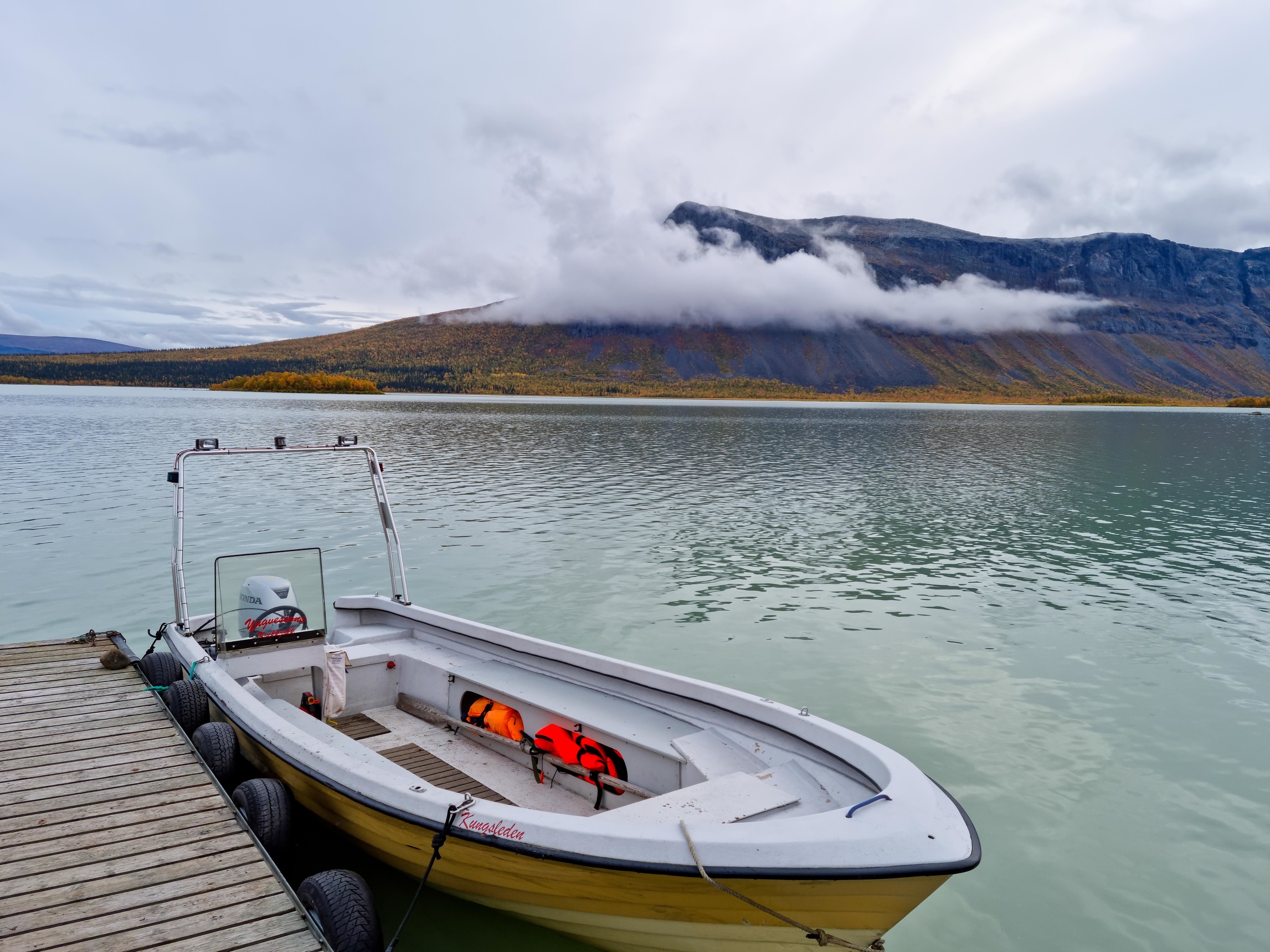
In 10 minutes I’m already on the opposite shore. Put on the backpack and lazily wander to the hut.
“Hello!” I say.
“Dobryi vecher!” they answer me.
Something doesn’t add up. Sweden. The Arctic. How is it “Dobryi vecher!?” I ask again, but the answer and the language don’t change )
In this hut, at the edge of the world, works a Kyiv woman who’s already lived in Sweden for 6 years. Then follows an interesting conversation about Sweden, Kyiv, Ukraine, life and work. Eh… I’m doing something wrong with my life.
Pitch the tent and drink tea.
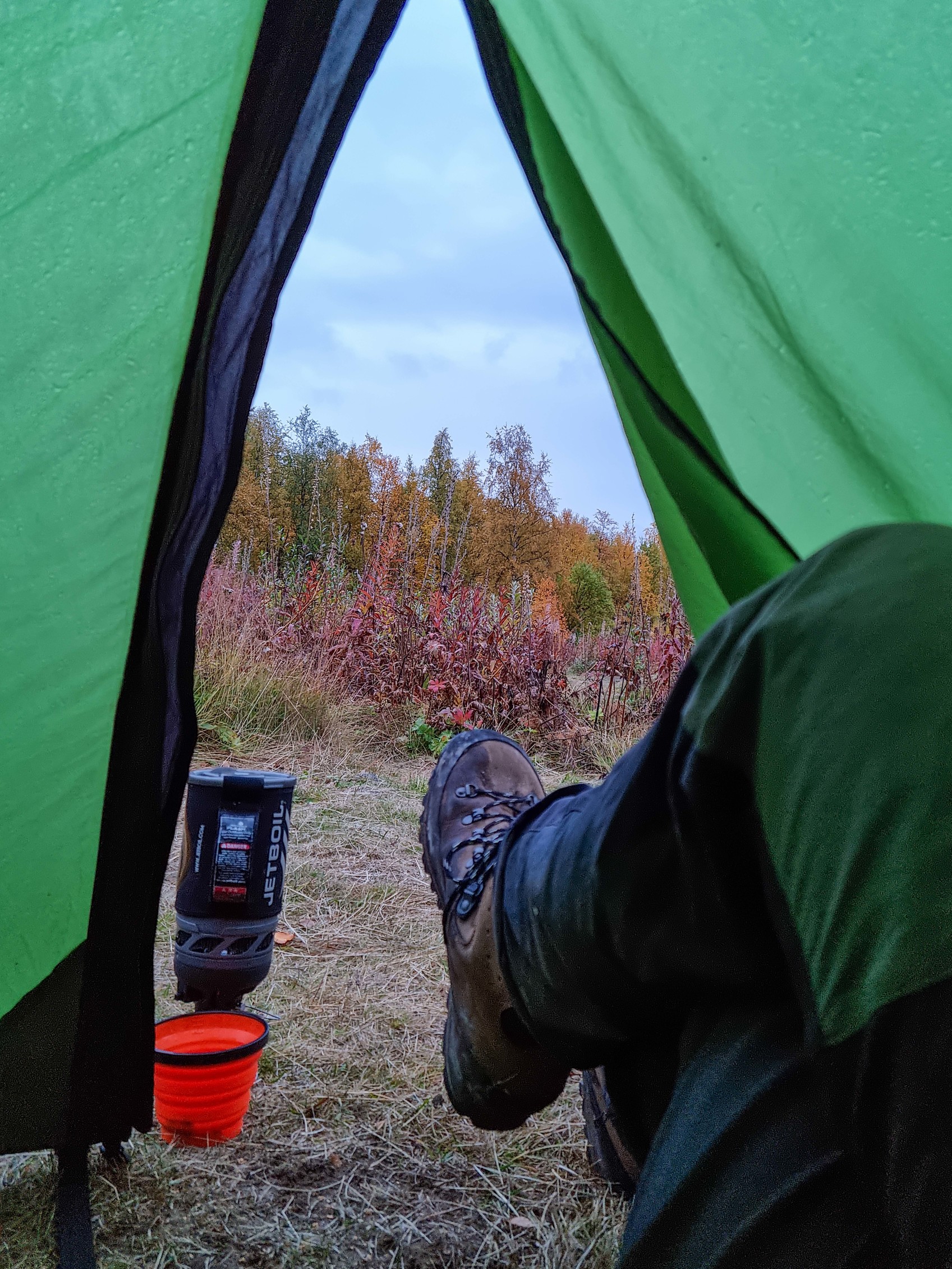
Aktse - Skierfe - shelter before the crossing to Sitojaure
Climb to the pass. From here to Skierfe is 10 km.
Charging up. The solar panel helped a lot despite the small number of sunny days.
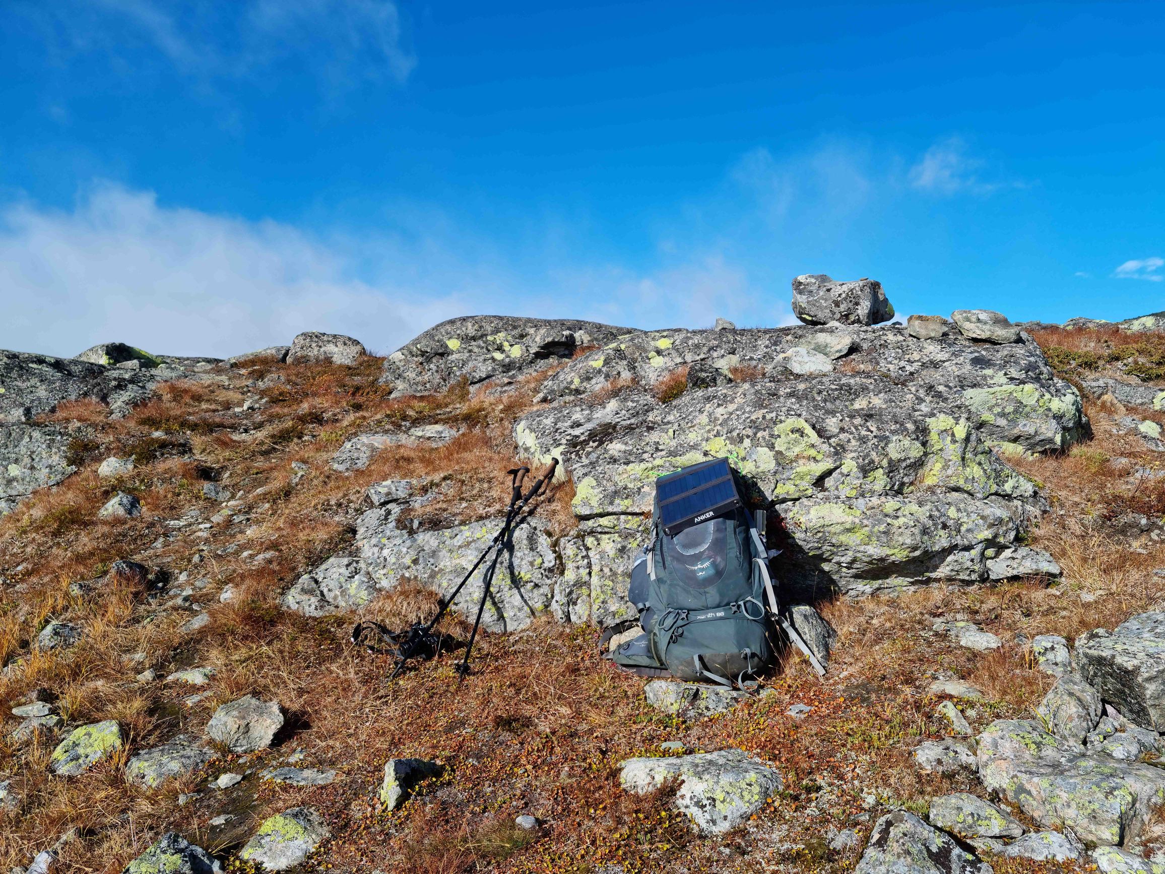
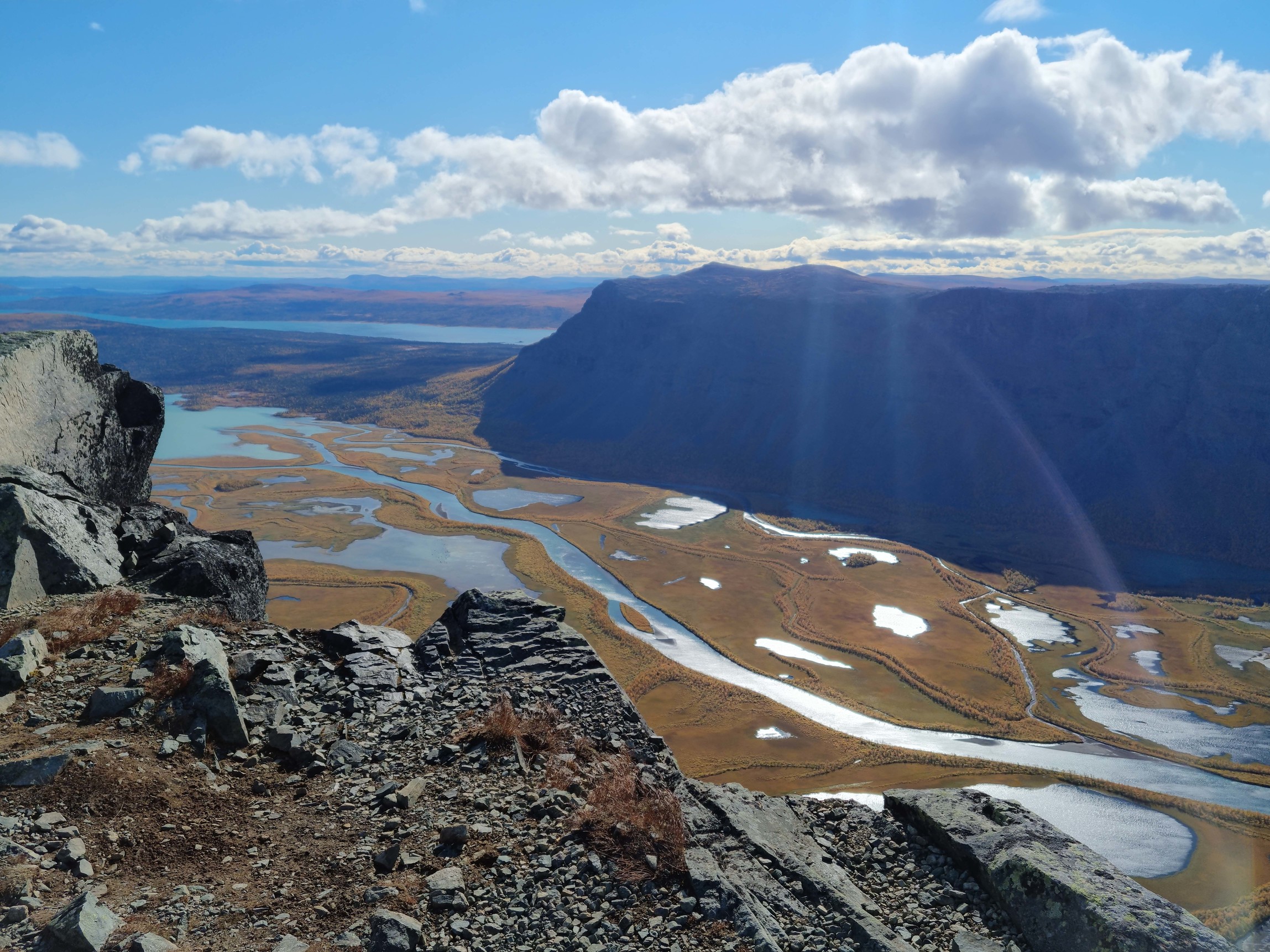
From Aktse a small climb, then left turn - about 8 km to Skierfe. And those kilometers turned out very long! Near the mountains I decide to leave the backpack under a rock. Mark a point on GPS. And that was not the smartest decision! Rocks everywhere here, and GPS has an error of 10-20 meters. On the way down I spent 15 minutes finding the right spot. Quickly climb up and see the view I’d so often seen in pictures. Strong wind on the summit. The cliff ends in a vertical drop of hundreds of meters.
Go down, find the backpack and go full speed back to the junction. Running short on time. Reach the path leading from Aktse, another climb and come out onto a plateau covered with rocks and lichen. Strong wind. The plateau ends and the descent to the lake begins. Almost running. Sometimes I turn around to look at the colors before sunset.
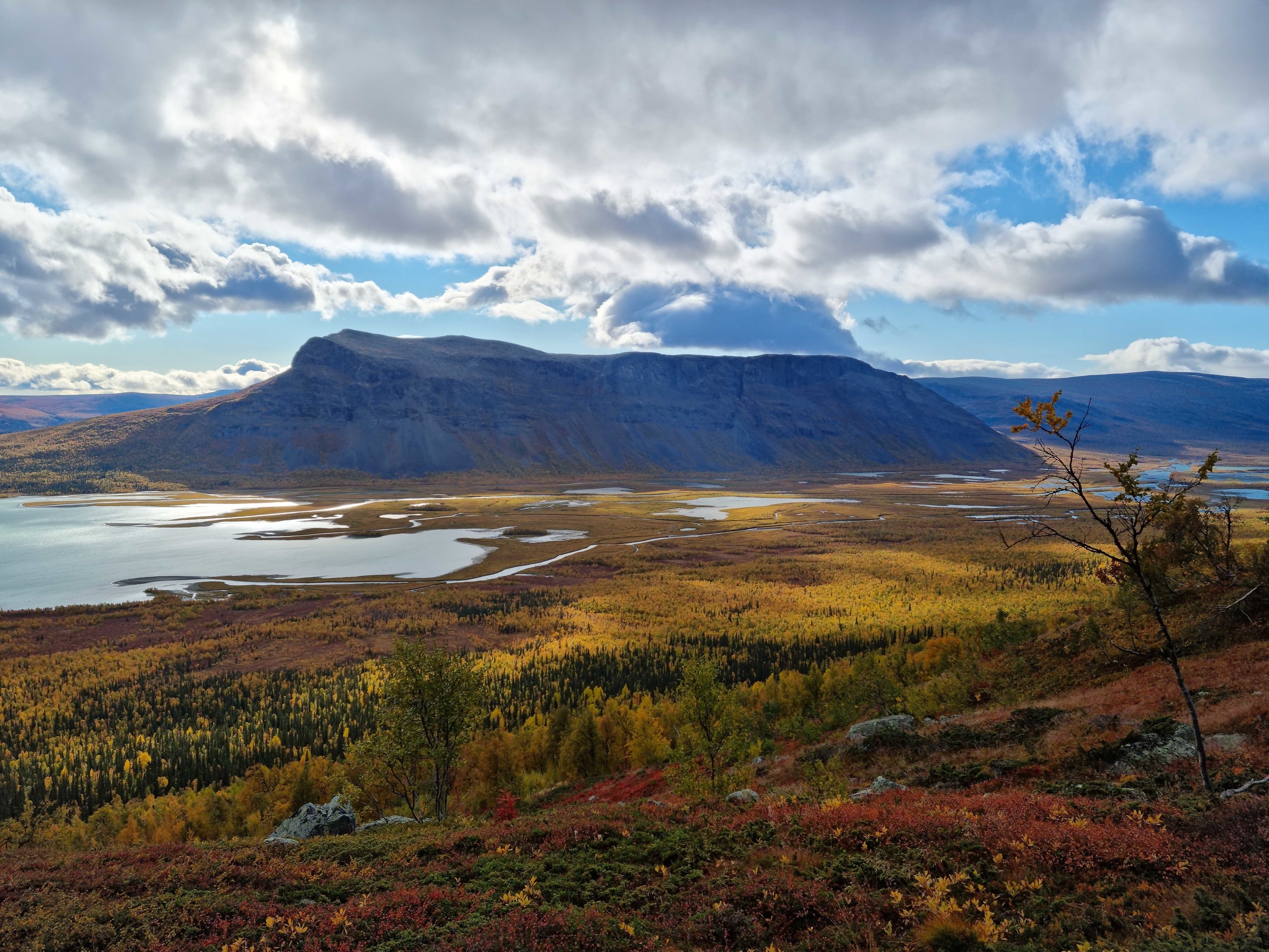
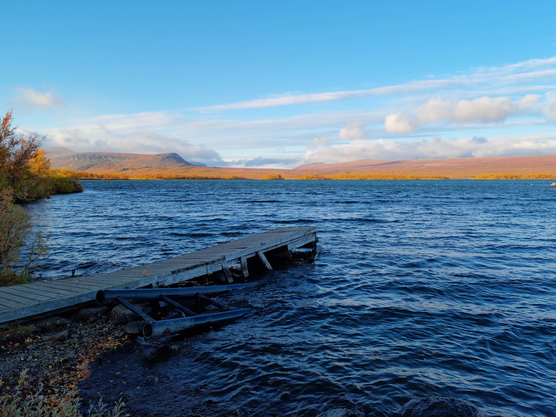
The lake is already within reach. I hear motorboat sounds. With the last of my strength, passing the shelter, I run to the pier. But too late now! There’s a pier, but no boats. I stand in naive hope for a miracle for another 15 minutes. Go back to the shelter, open the door. And we have 3 more lucky ones!) Send an SMS via InReach to the other side of the lake asking for a boat. Reply comes - wait tomorrow at 7 AM.
Decide to sleep in the tent.
crossing to Sitojaure - Saltoluokta
Wake up, pack the tent. Around 7 AM a boat arrives and I end up at the next station - Sitojaure. Cook freeze-dried food, drink tea.
It may seem like all I do here is walk, eat and drink tea. Well… That’s exactly how it was )
In about 15 minutes the real tundra opens up - the way it was in my imagination. Vegetation ankle-deep, no wildlife, mountains in snow in the distance. The picture is completed by a cold wind with snowflakes blowing in my face.
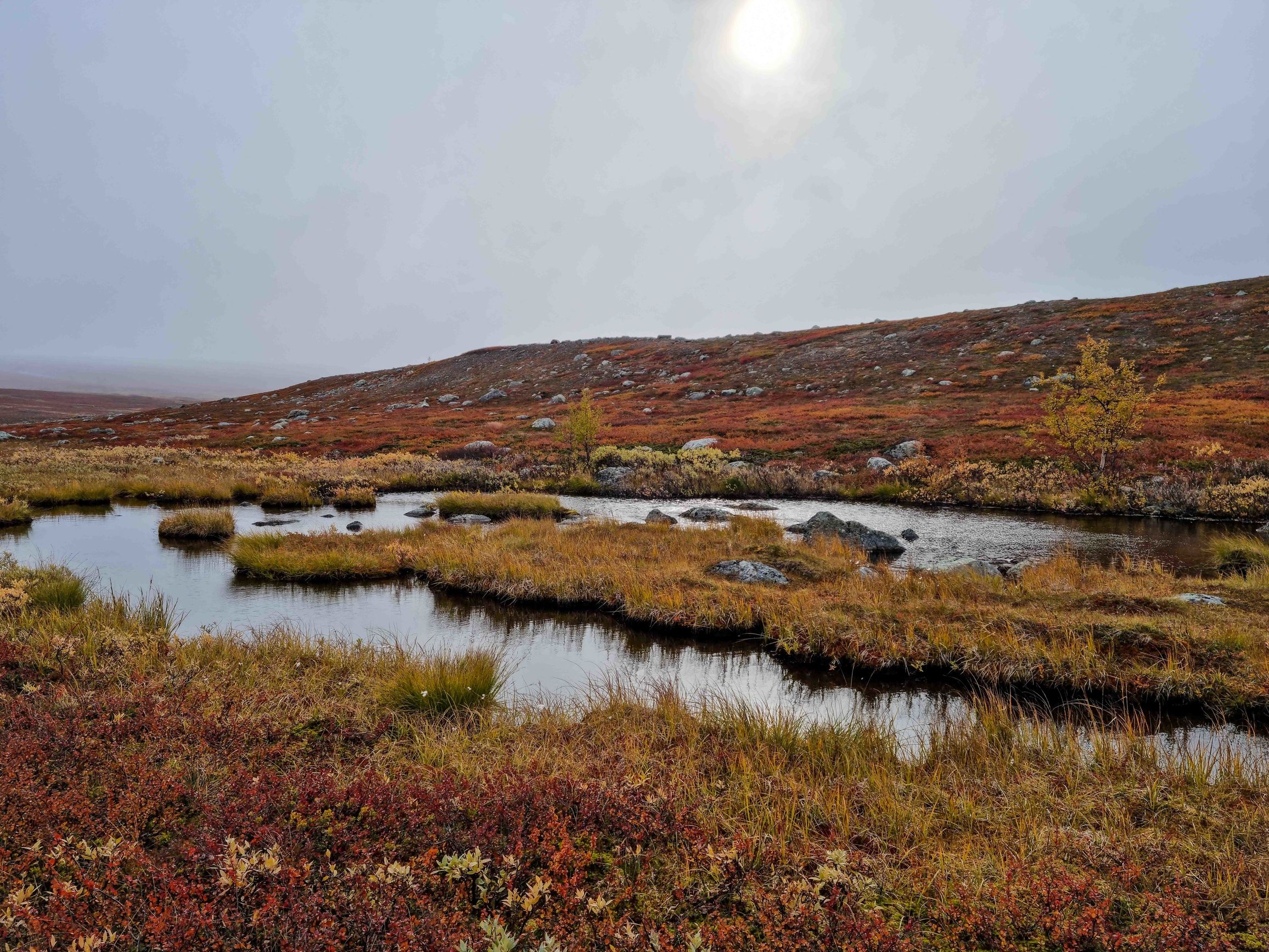
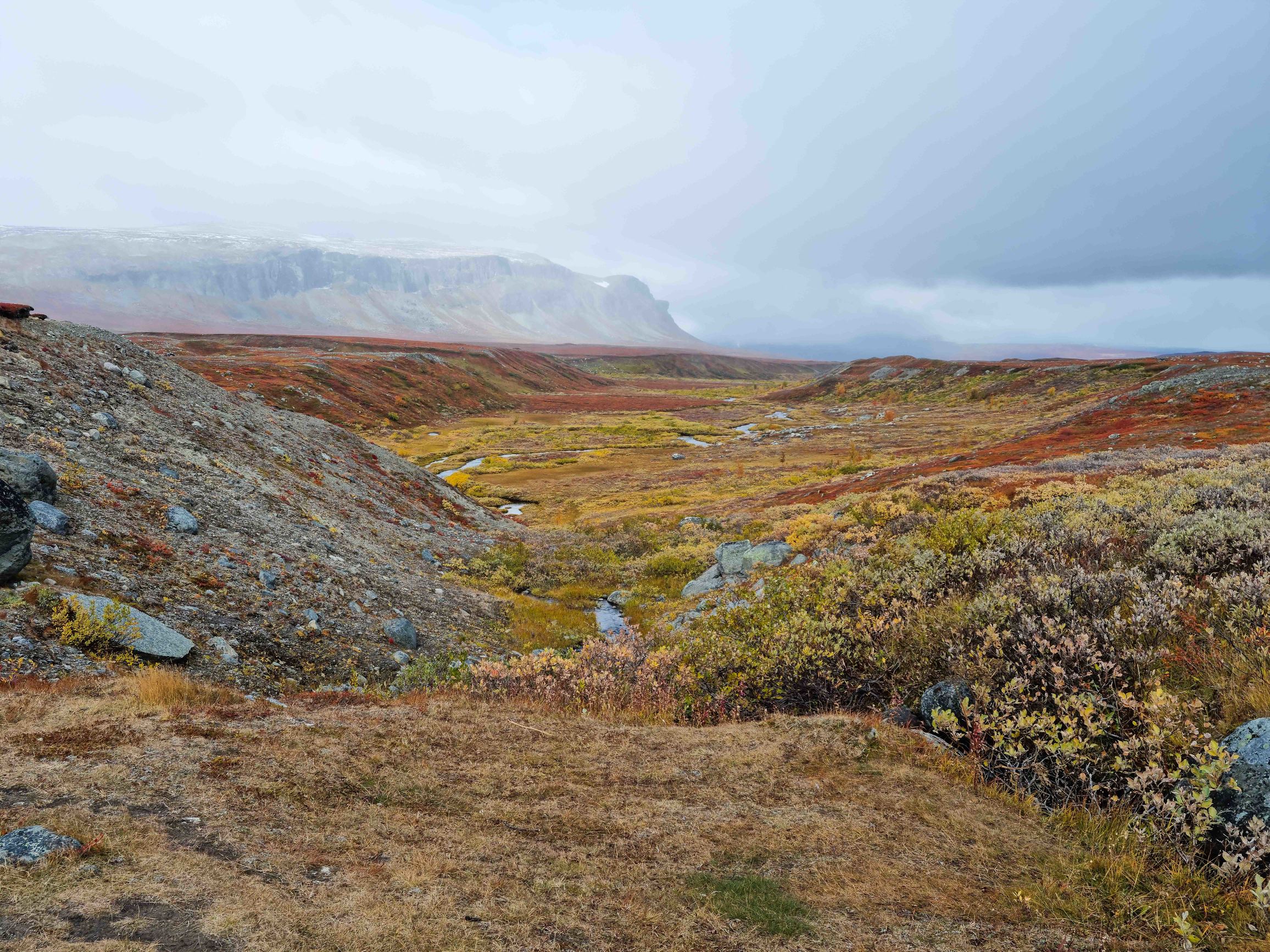
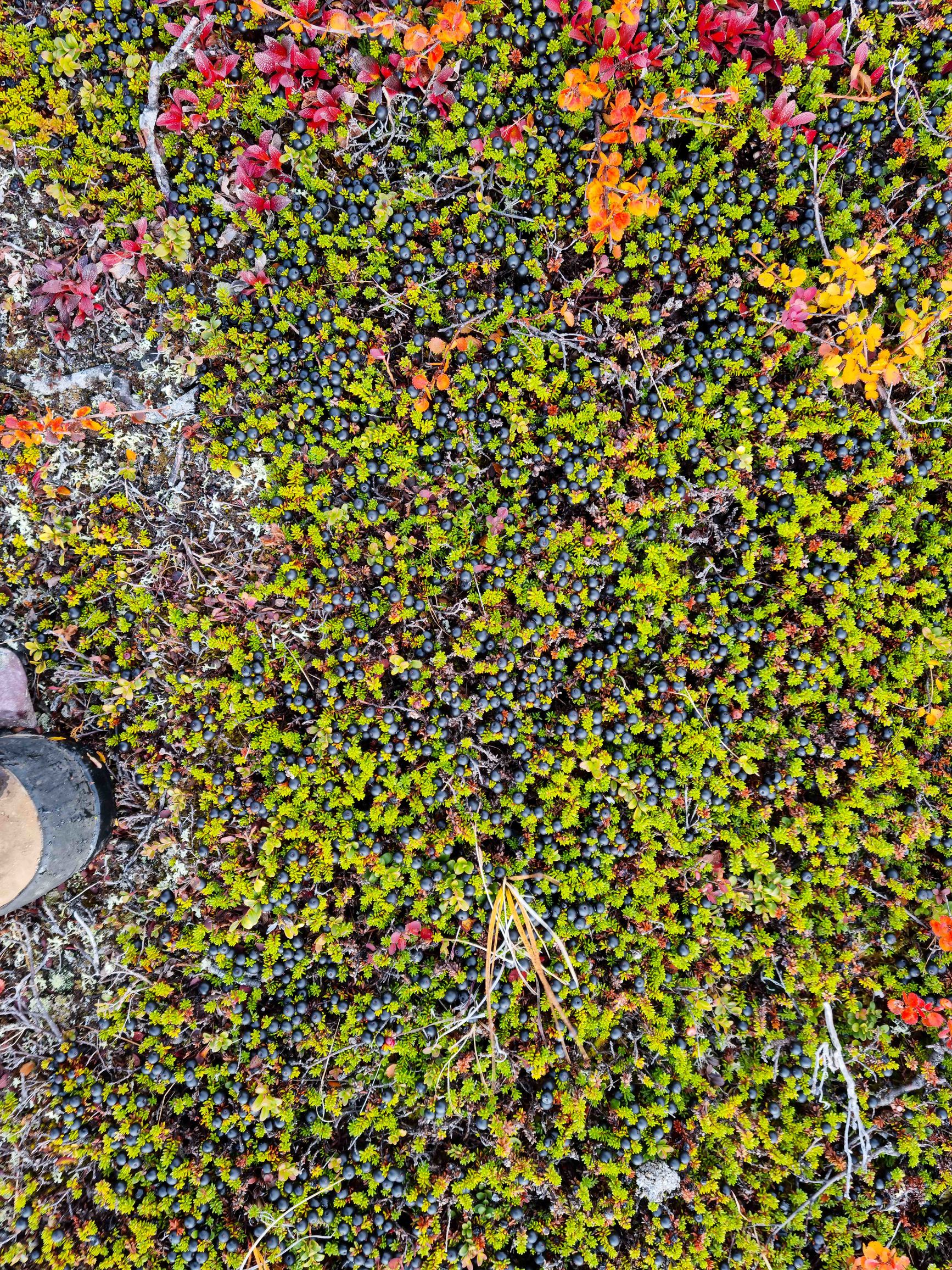
there are so many berries here that some vegans could bring no food at all ))
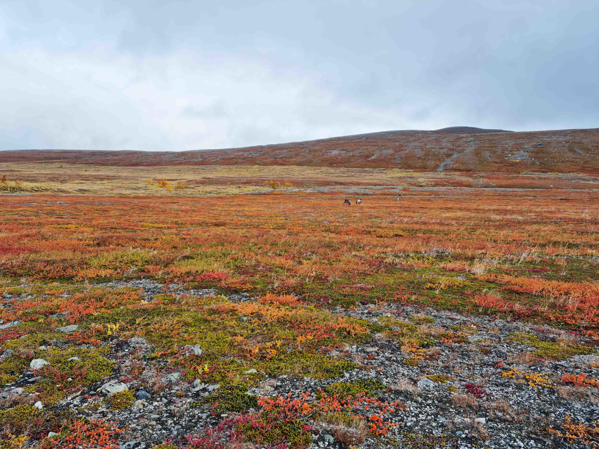
from time to time I saw reindeer
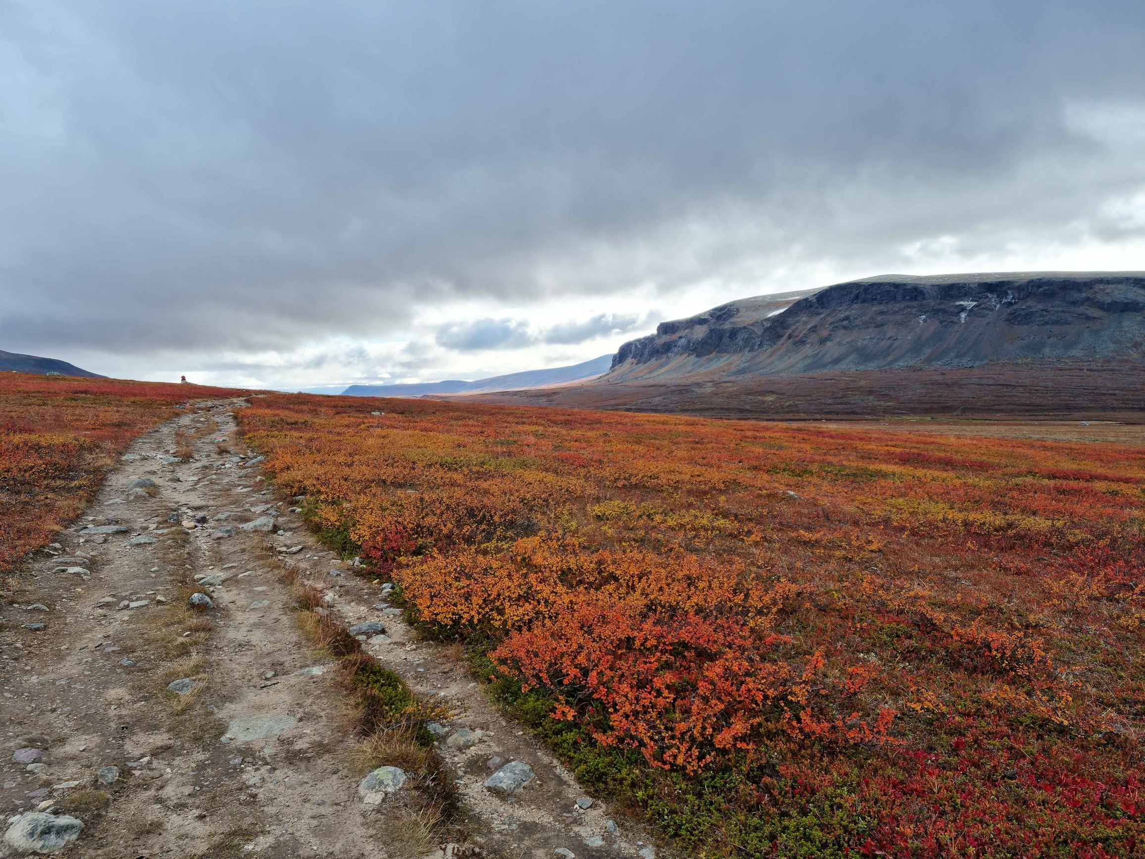
on the shore of this lake is Saltoluokta.
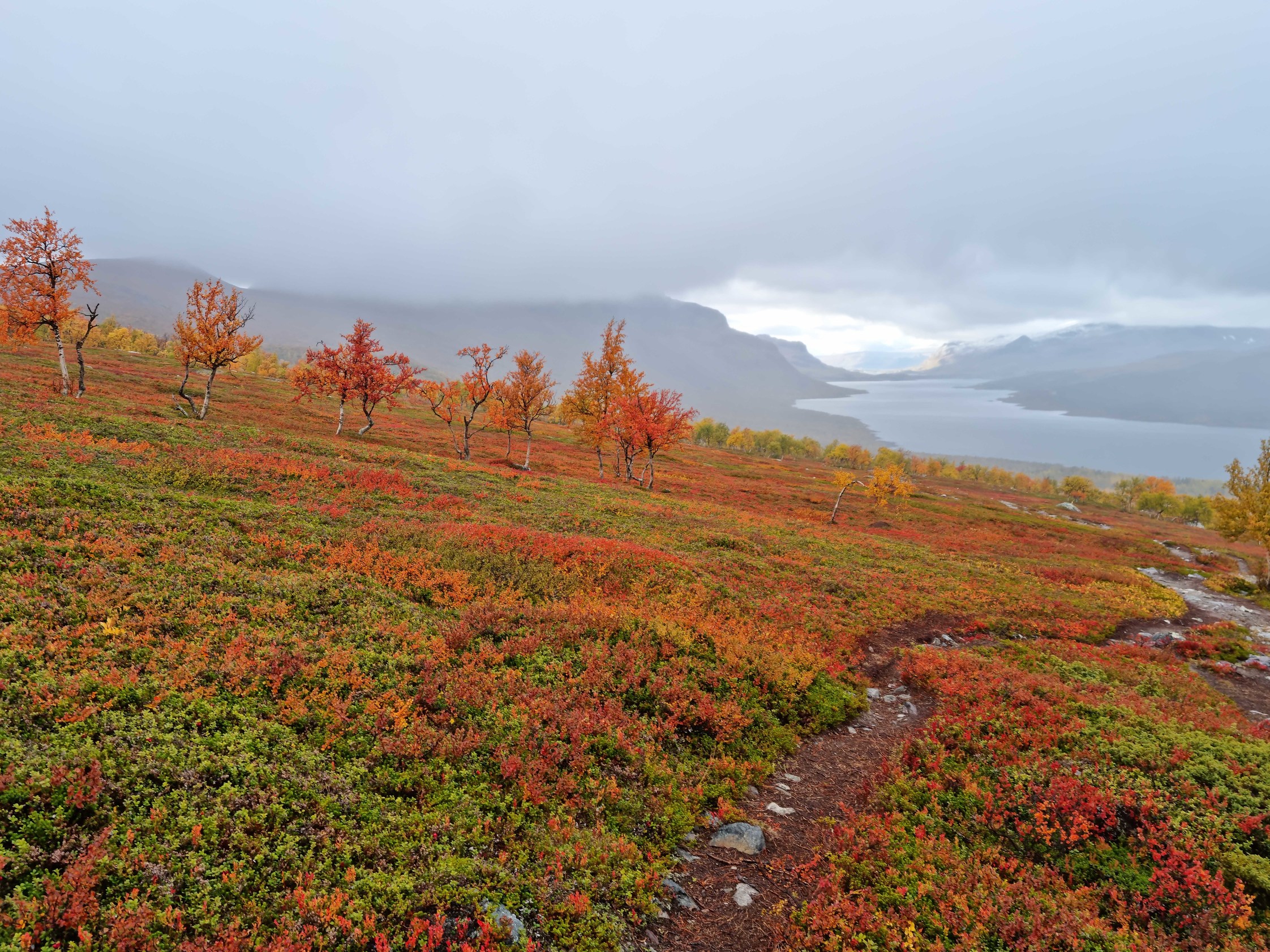
long descent, finally find the main building. Inside - a cozy little cafe and a fireplace
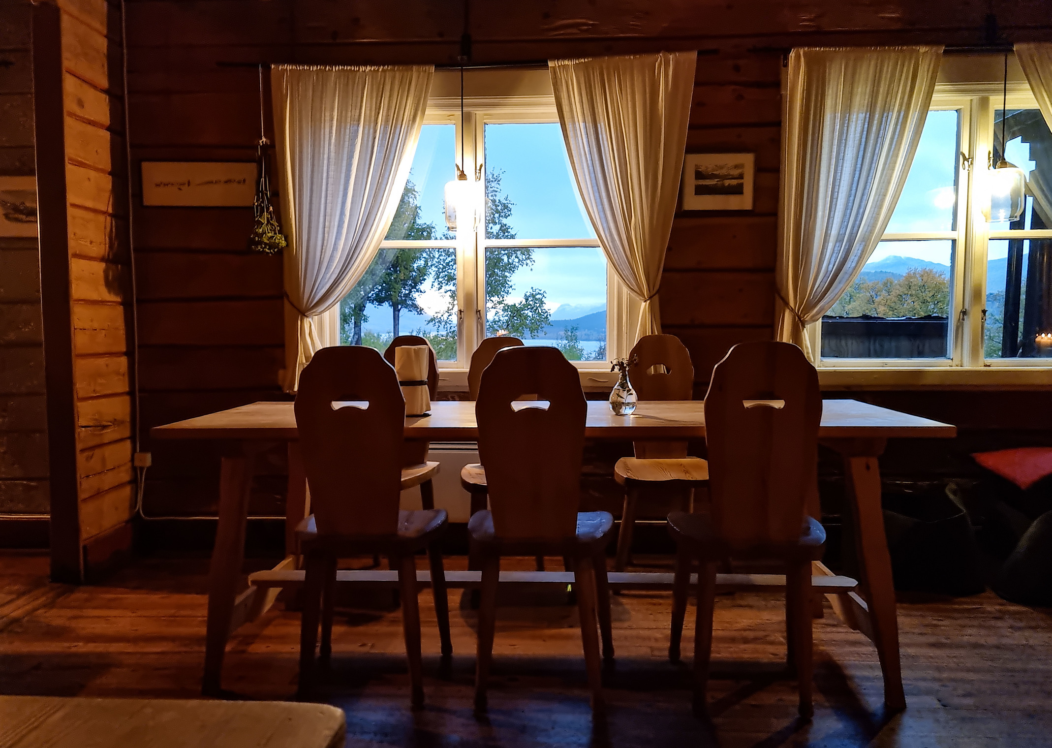
This is a fairly big station with a shop, shower and cafe. Pay for camping, pitch the tent under a tree and enjoy the comforts of civilization - hot shower, wifi and a chance to charge devices. The crossing is only tomorrow after lunch, so I can take a short rest. In the evening I sit in the common room by a warm wood-burning fireplace (eco friendly!). Some very unusual firewood here - lights from one match. Need to decide what food to buy for the road. Despite the station being big, by the end of the season there’s little in the shop - canned soups, various instant noodles and freeze-dried meals (at steep prices). No Snickers and such left. In the end I take 10 packs of Travel Lunch at 15 dollars a pack and 4 cans of canned soup. There goes the money. Next day I meet two tourists from Kyiv. They’re doing the whole route north to south.
Saltoluokta (crossing) - Vakkotavare (bus) + a couple hours on foot
In the morning in the cafe I bump into Simona. She wants to go to the other side of the lake in the morning and then hitchhike to the next section of the route. I plan to take a short rest, read a book and laze around.
Pity we didn’t cross paths again :(
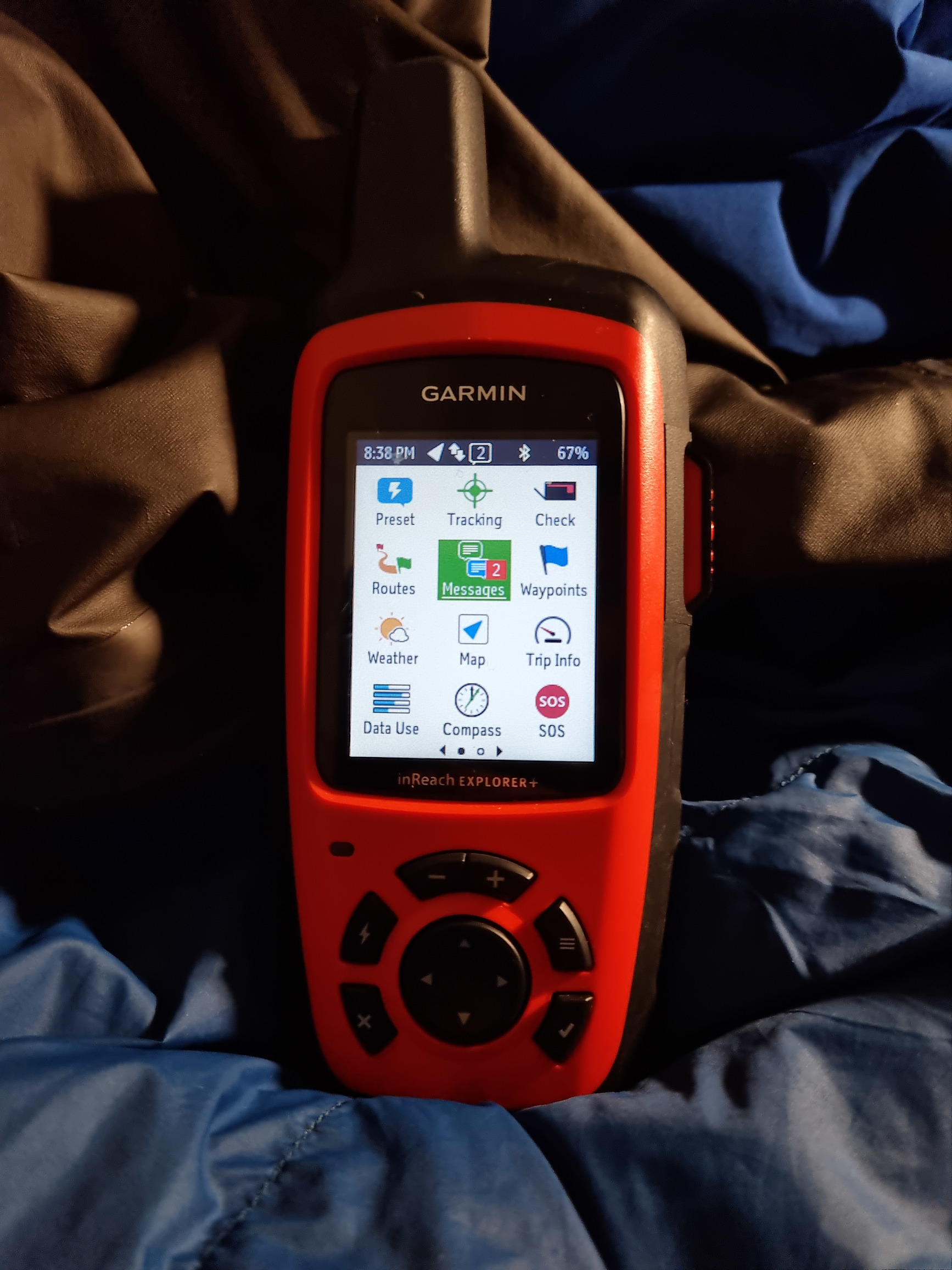
My provisions for the next week. Why did I drag heavy canned soups? For variety )
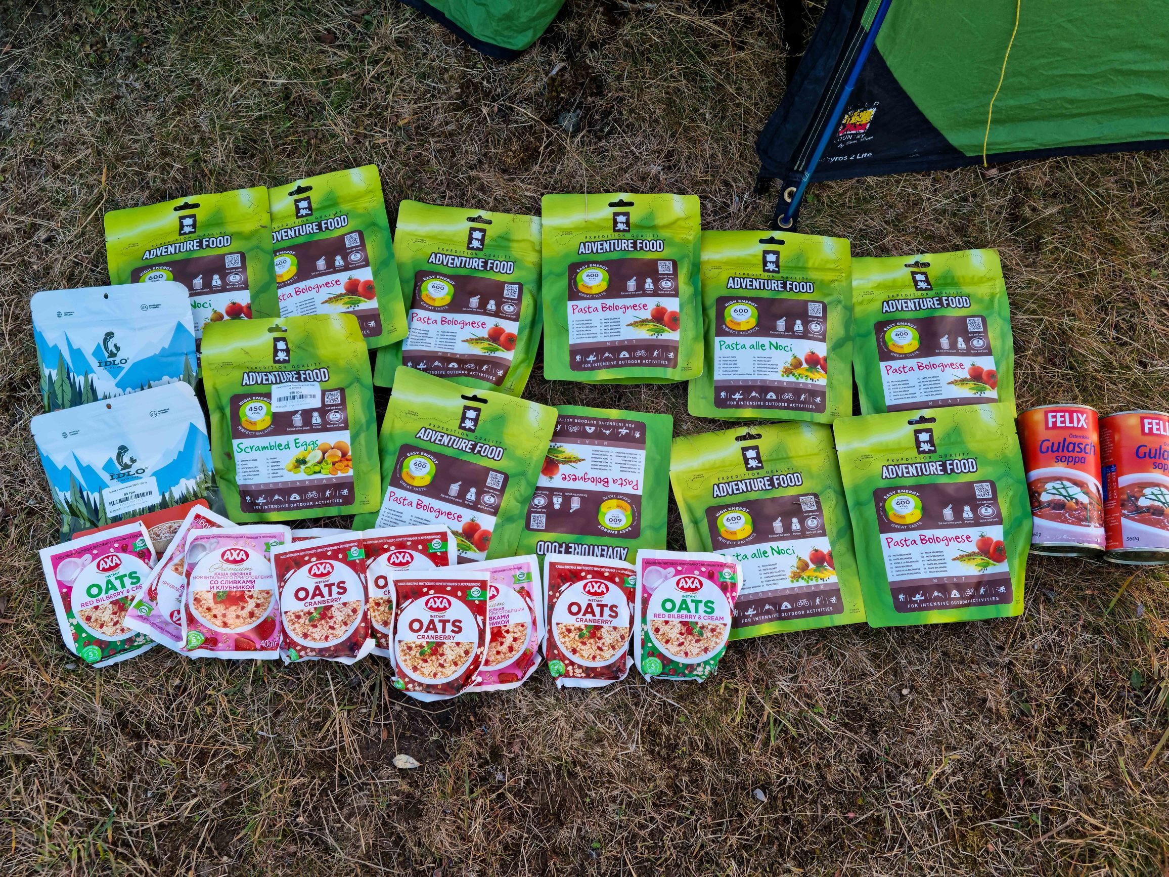
once again I’ll advertise the Garmin InReach satellite messenger, which provided me with two-way communication.
After lunch I buy more food, pack the backpack and go to the crossing. About 15 minutes - and I’m on the other side of the lake. Not far from the pier I get on a bus and go to the next station - Vakkotavare. We pass the most beautiful forests and lakes. Swedes sure know how to deal with nature! The only sign of civilization - a small and very neat road. Nothing extra. No mountains of building materials, ruins, junk, trash. Only a small intervention in nature. We pass a hydroelectric plant - and the whole dam is lined with boulders so it differs as little as possible from the surrounding landscape. With sadness I remember our littered Carpathians.
Vakkotavare hut is by the road. Not much to do there, still have time. Decide to walk another 2 hours. Pitch the tent on another plateau.
Sunset
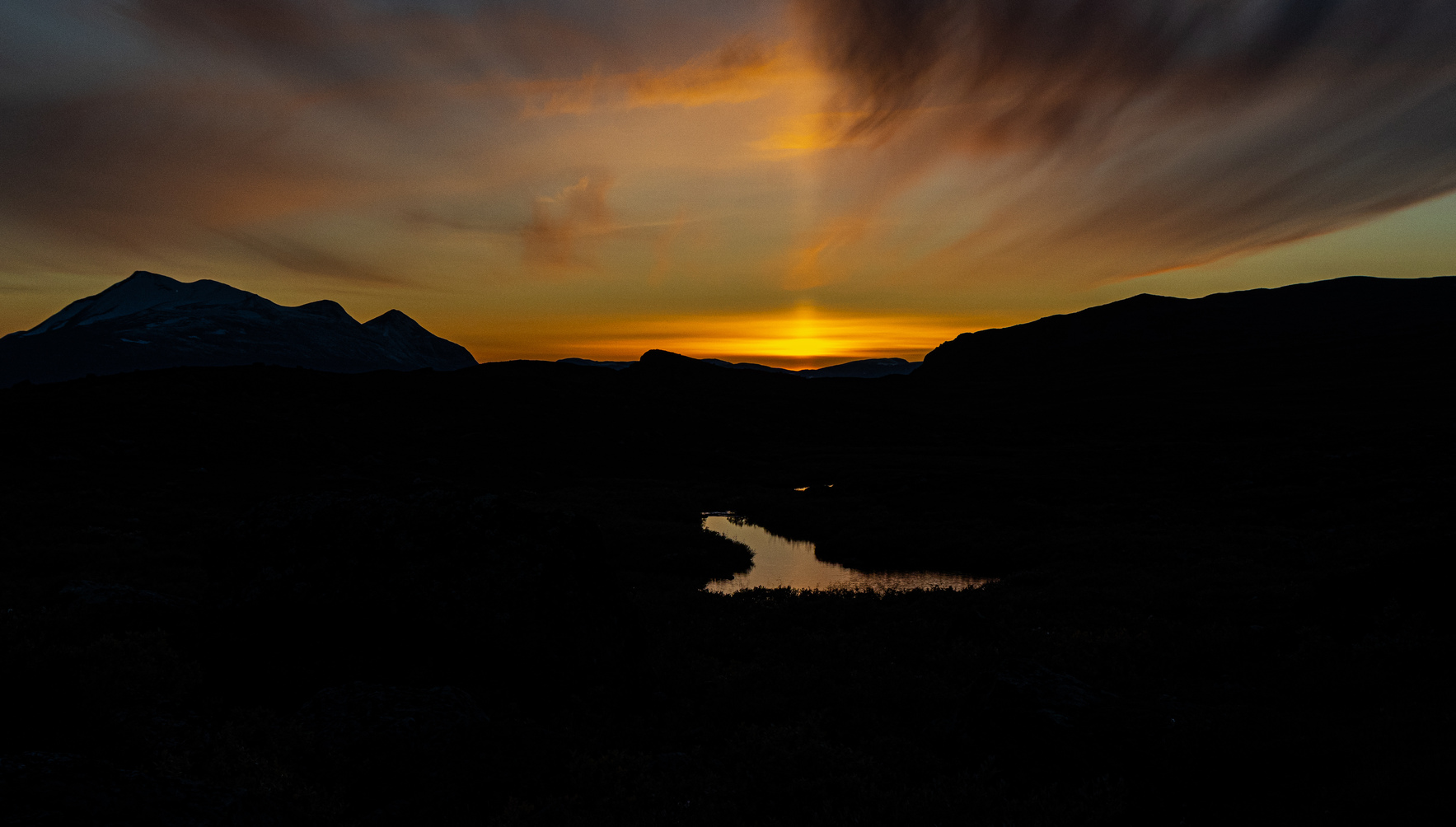
That night for the first and last time I saw a weak northern lights.
Vakkotavare++ - crossing of lake Teusajaure - Teusajaure STF+
At night there was frost - the tent and grass were covered with a good layer of frost.
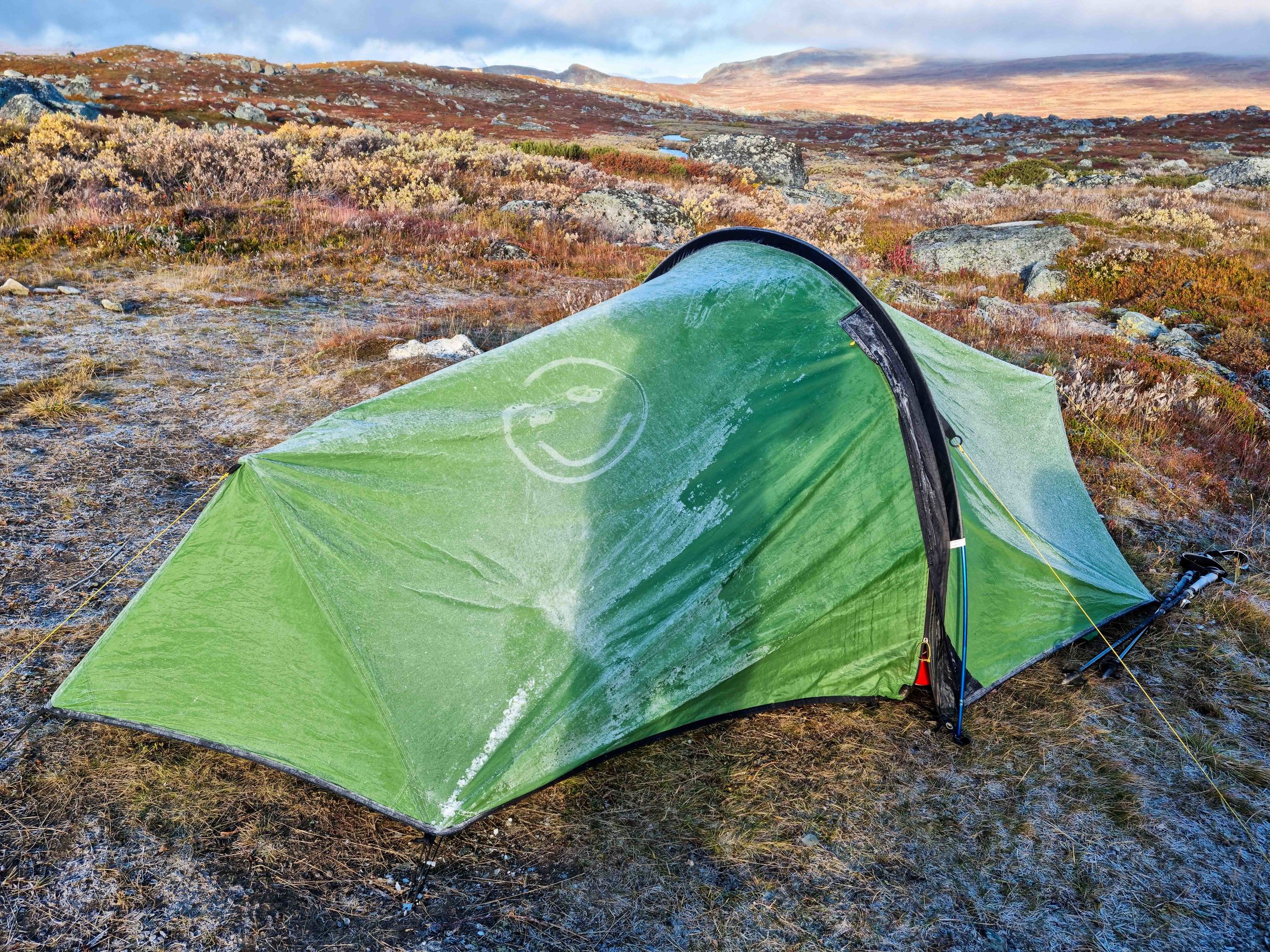
Again I pack, again make breakfast and tea. Again walk across the plateau that ends in a cold northern lake.
Wander along the shore.
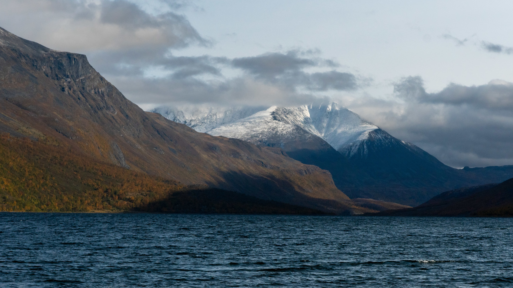
A boat arrives.
Again buy a bit of food, climb along a waterfall onto a plateau strewn with rocks. In a couple of hours I start looking for a place to overnight. Pitch the tent in a big valley. For many kilometers - not a soul.
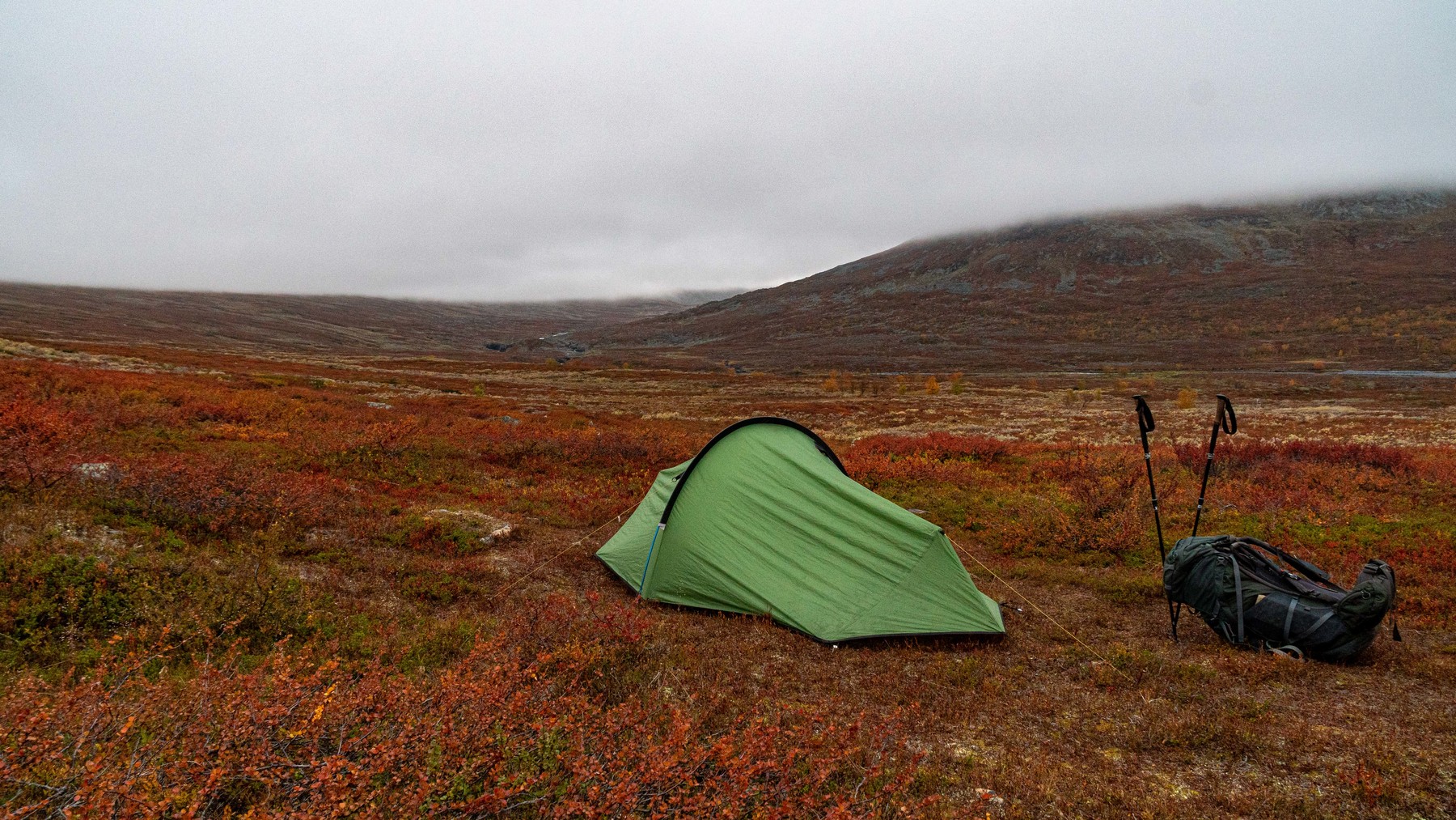
And again in the dusk on distant slopes I think I see a bear. In the morning it turned out to be a black rock )
Teusajaure+ - STF Kaitumjaure - Singi


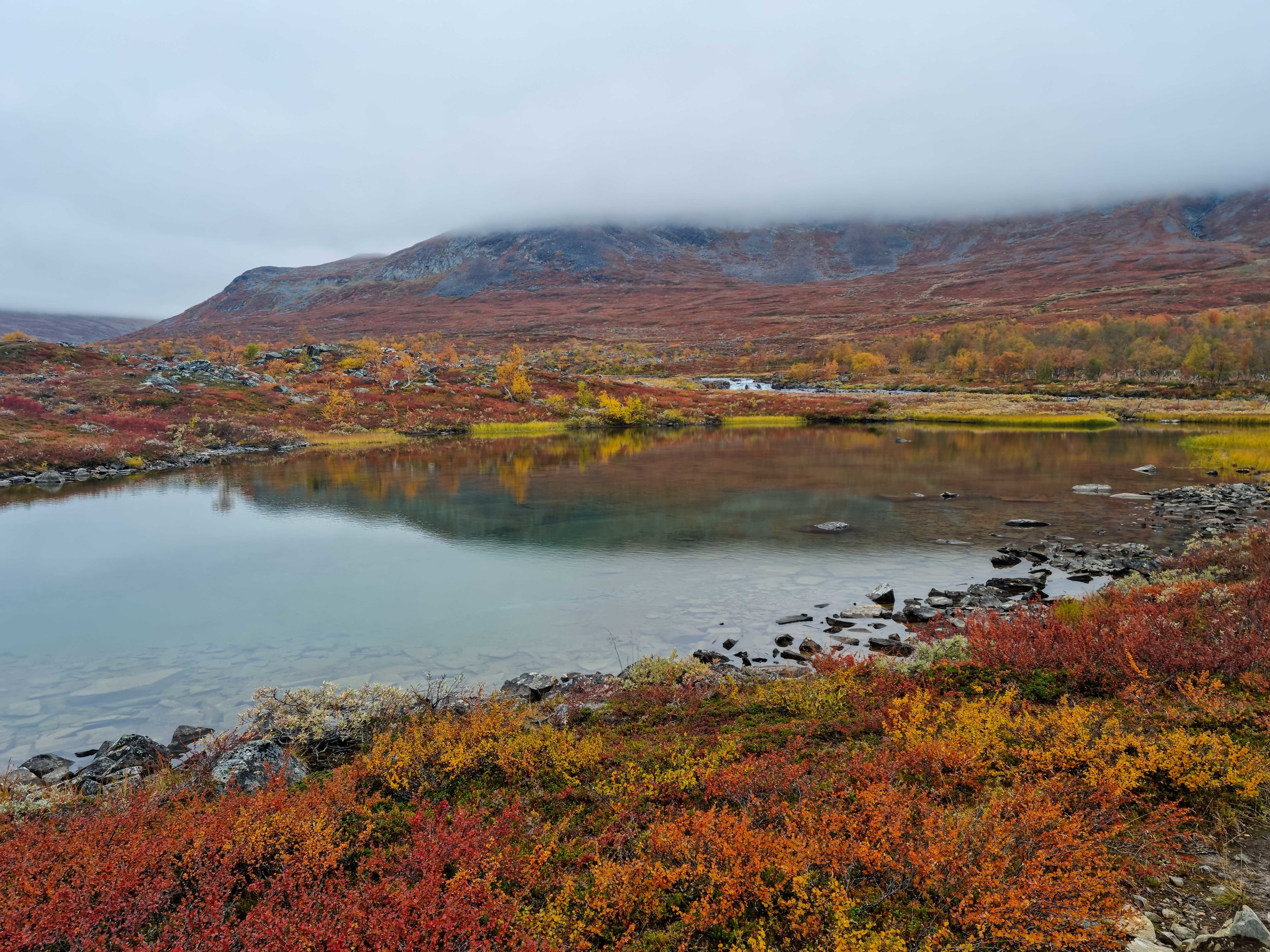
STF Kaitumjaure. Went in looking for provisions. In the hut, besides the warden, there was nobody. One tourist had stayed overnight. Chat a bit, buy a couple of soups and go on.
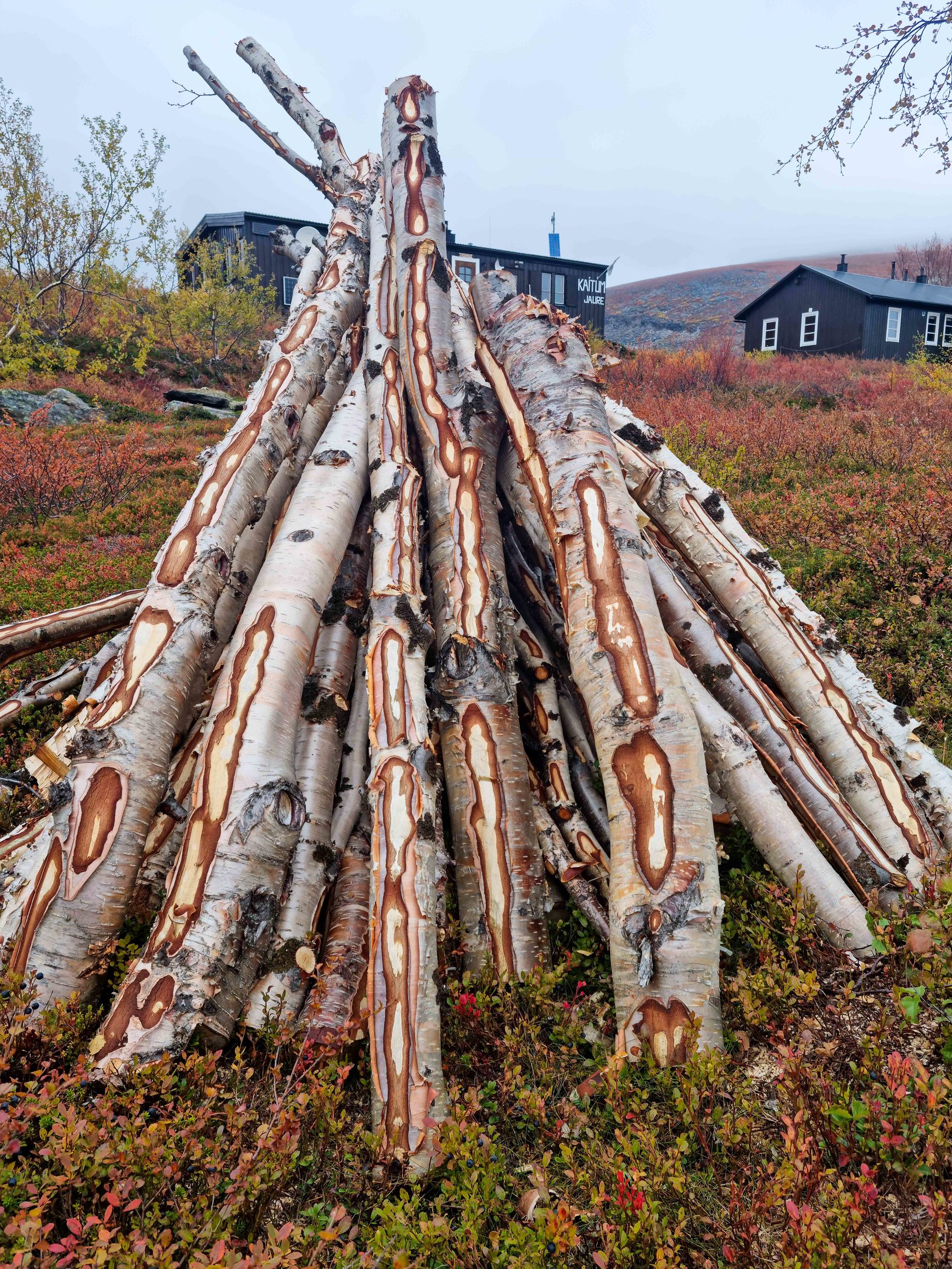
A few hours later I came across this sign. Pull out the map and see that to my next goal - STF Kebnekaise - there are two paths. One - through Singi (the next hut straight ahead), the other - some goat path that starts right from this post. Don’t really feel like adventures today, so decide to go to Singi.
Another hour and a half later I reach Singi, pitch the tent not far from the STF and ask about conditions in Tarfala Valley. Decide tomorrow to go to Kebnekaise, from there to Tarfala Valley. And then we’ll see - either back the same trail, or through the mountains.
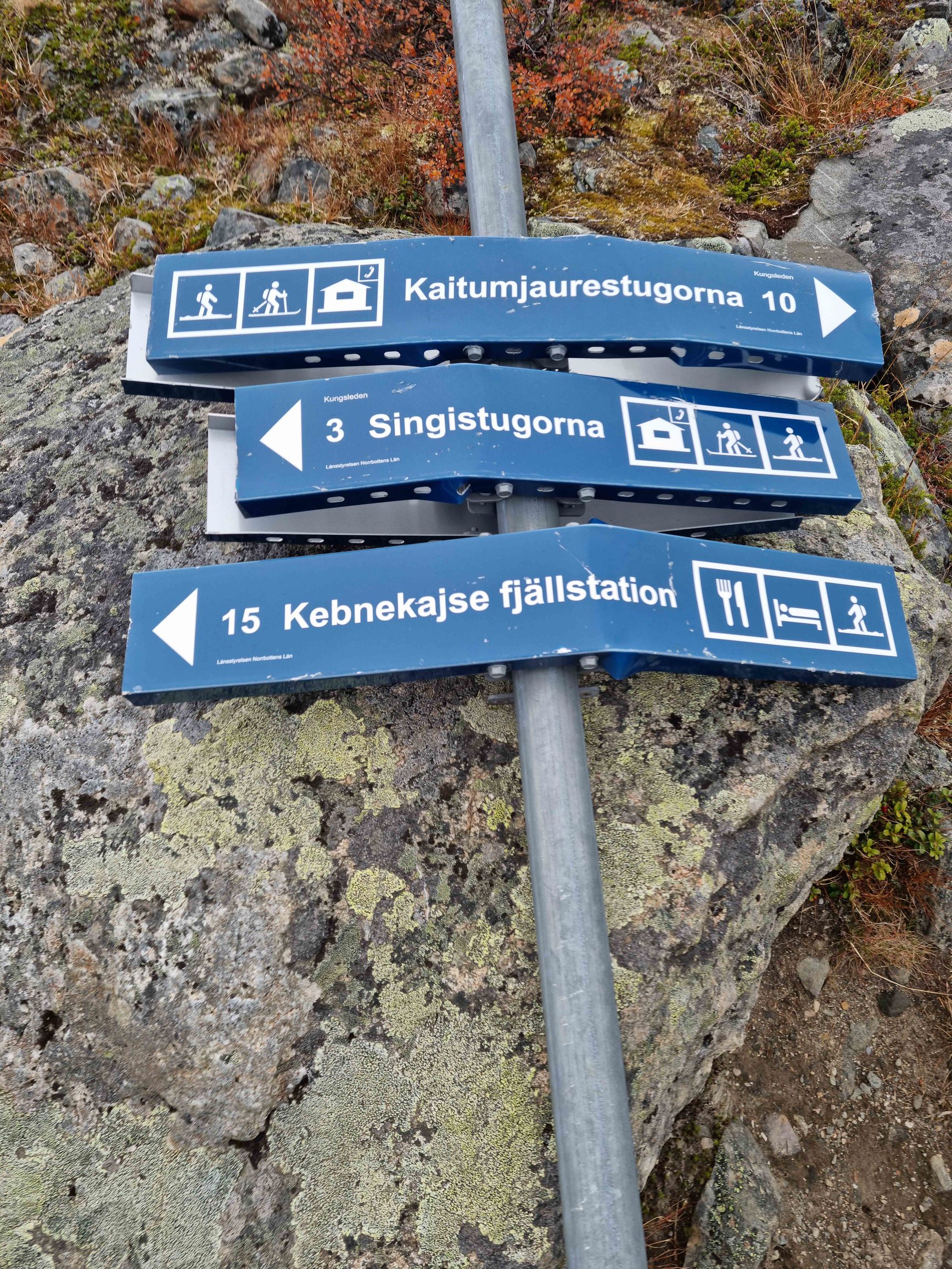
Singi - Kebnekaise - Tarfala Valley
One of the hardest days. From Singi I turn right. Walk through a small dark cold valley along several lakes and a river.
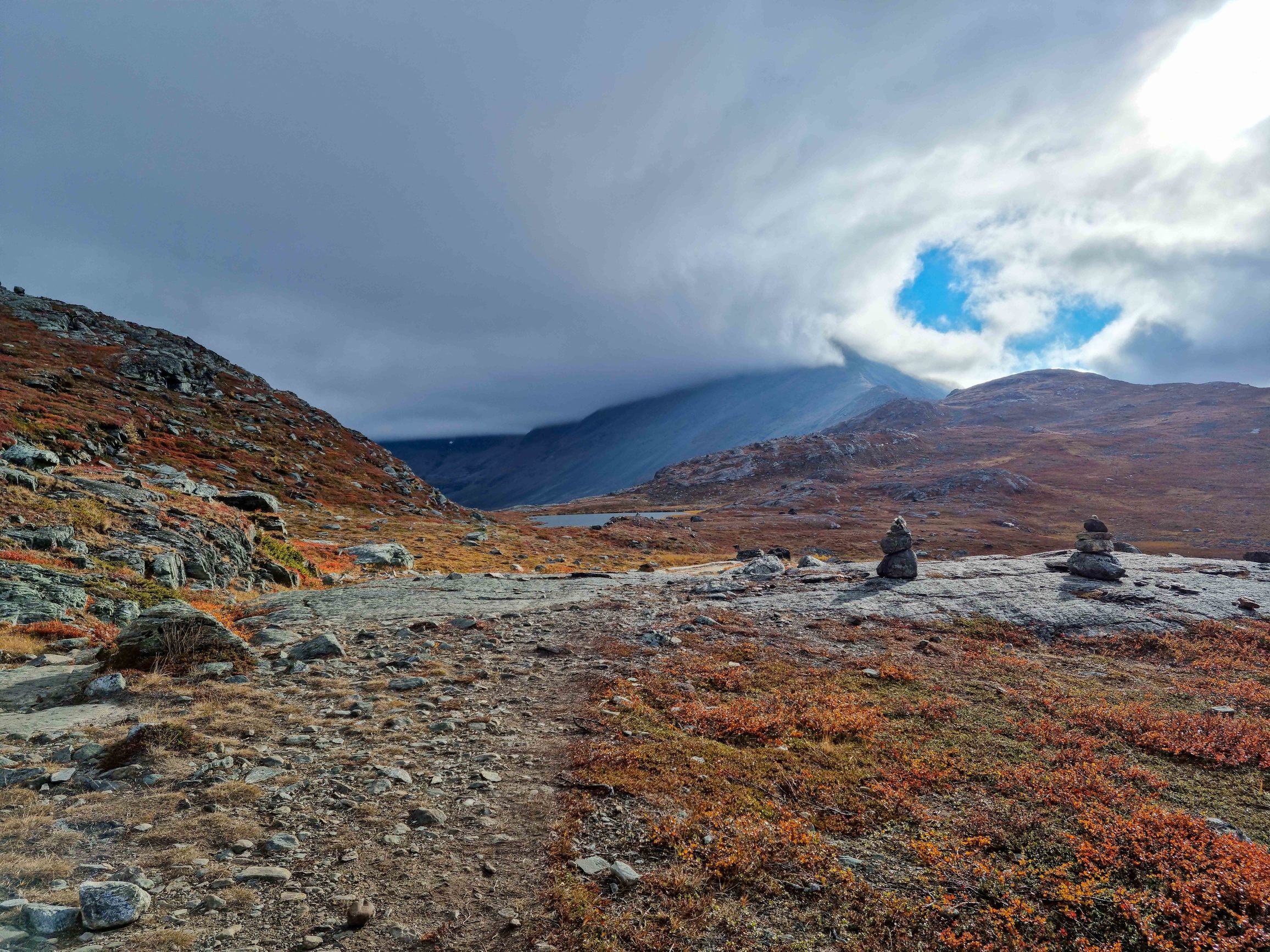
Climb into Tarfala Valley.
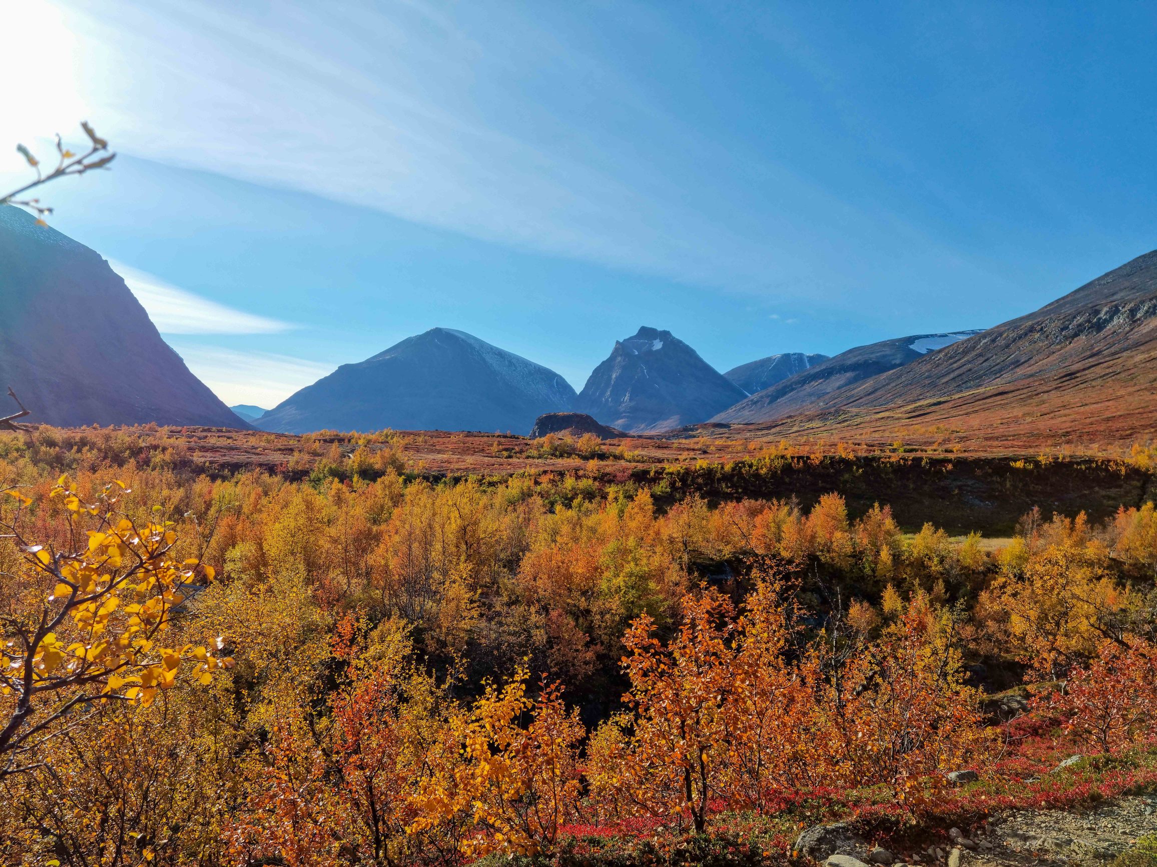
Barely alive I reach the valley. And here - a surprise! Stones everywhere! For another hour, terribly tired and barely alive, I jump over rocks. Pass the research station and finally find a small relatively flat patch. Pitch the tent, make tea and admire the glaciers and snowy peaks.
Tarfala Valley - Kebnekaise - Singi-
After yesterday’s hard day I sleep till 10. The idea of going through snow and probably a glacier I really don’t like. Decide to return the same way I came. Slowly have breakfast and take photos. Look at the mountains one last time and start walking to the exit from the valley.
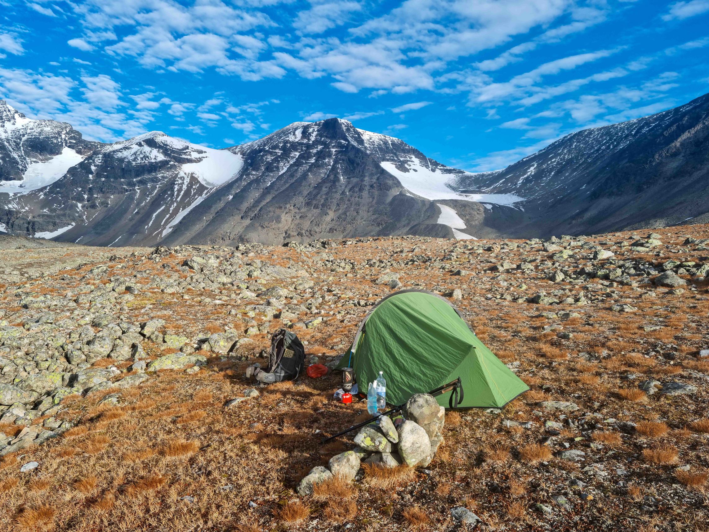
Quickly descend to STF Kebnekaise. Today it’s already closed. But WIFI still works :) Staff is busy cleaning and washing the cabins. Very warm and sunny. Looks like that warm spell you get in autumn. Spend about half an hour here and go on.
For lunch I stop by a small stream.
Don’t make it to Singi. Pitch the tent not far from the trail behind a small hill.
Singi- - Singi - Salka+
Once again pack the tent and head out. In about an hour and a half reach Singi. No signs of life anymore. Season is over and everything is closed. Again a valley, some Sámi settlement. Nobody there either. Eventually reach the next hut - Salka. Still early, so decide to go further to get as close as possible to the pass.
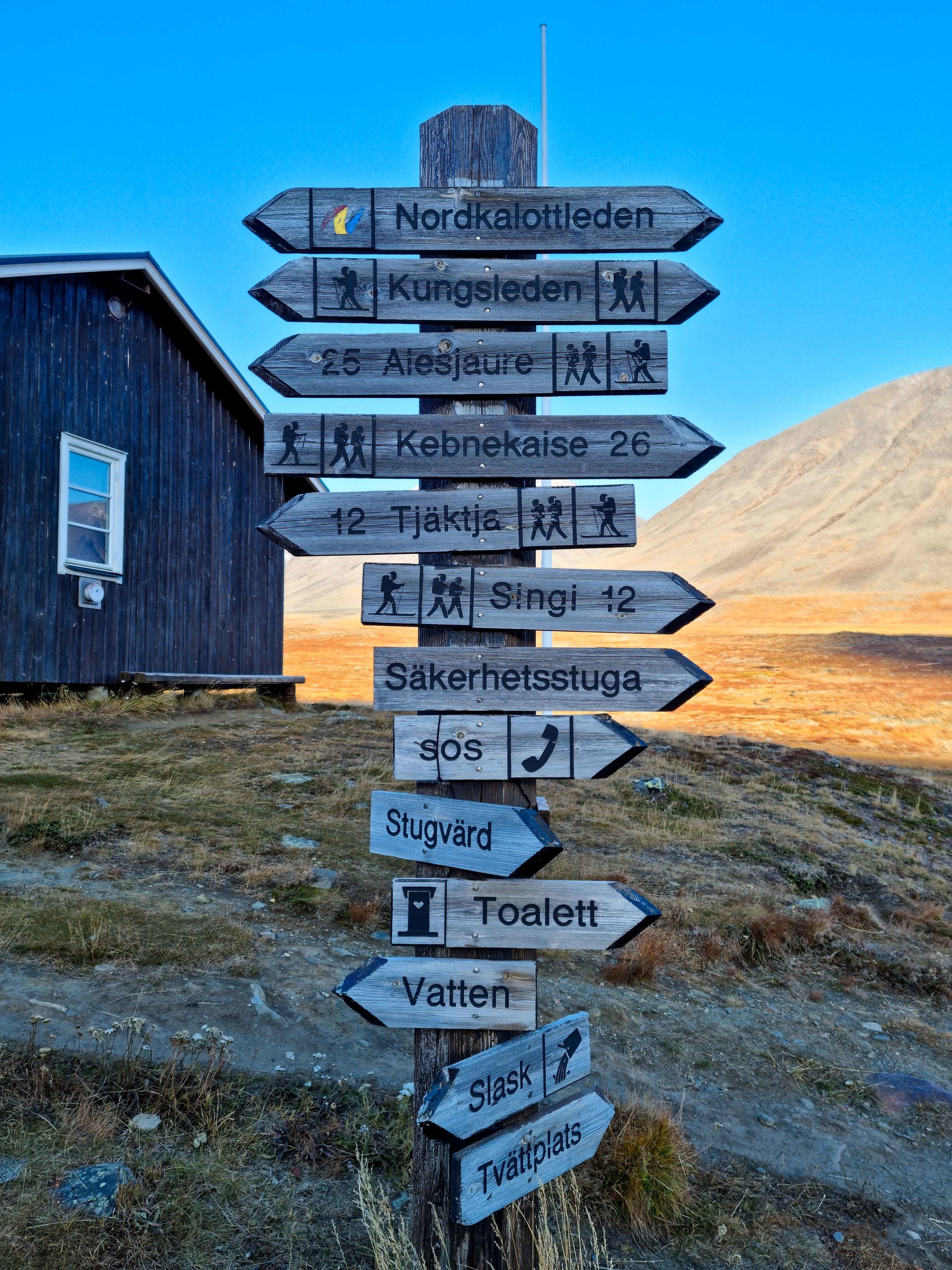
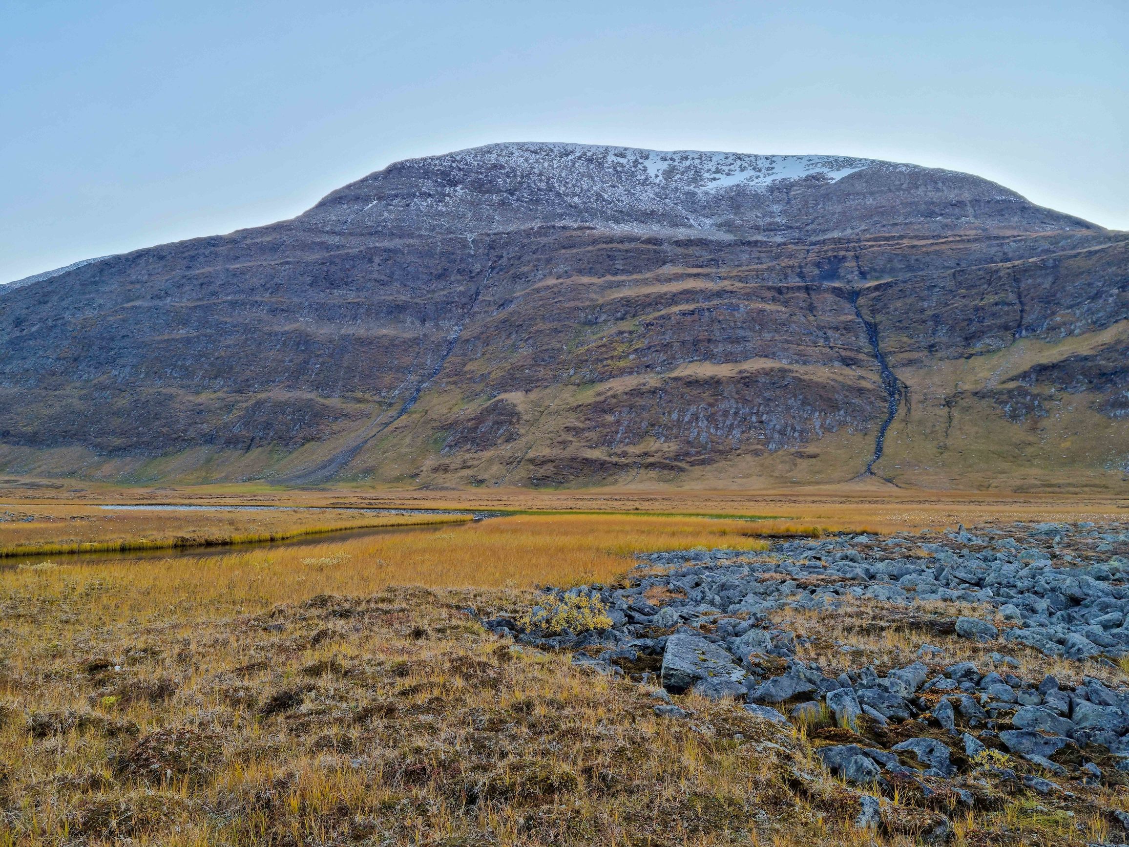
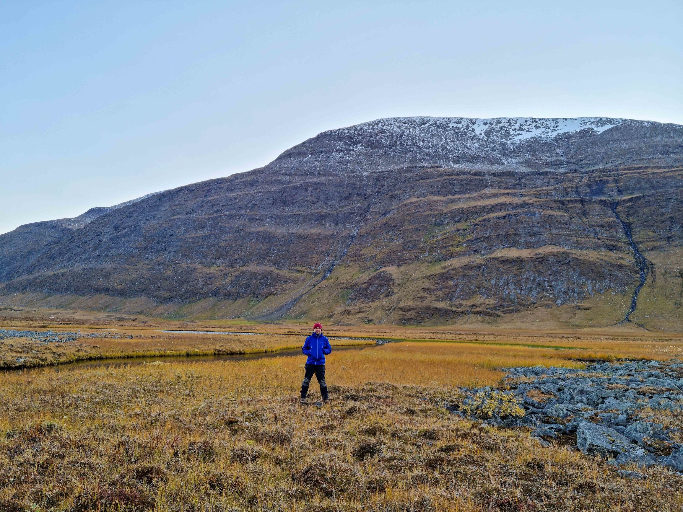
At night a strong wind rose, but the tent held. As it turned out, for the last time.
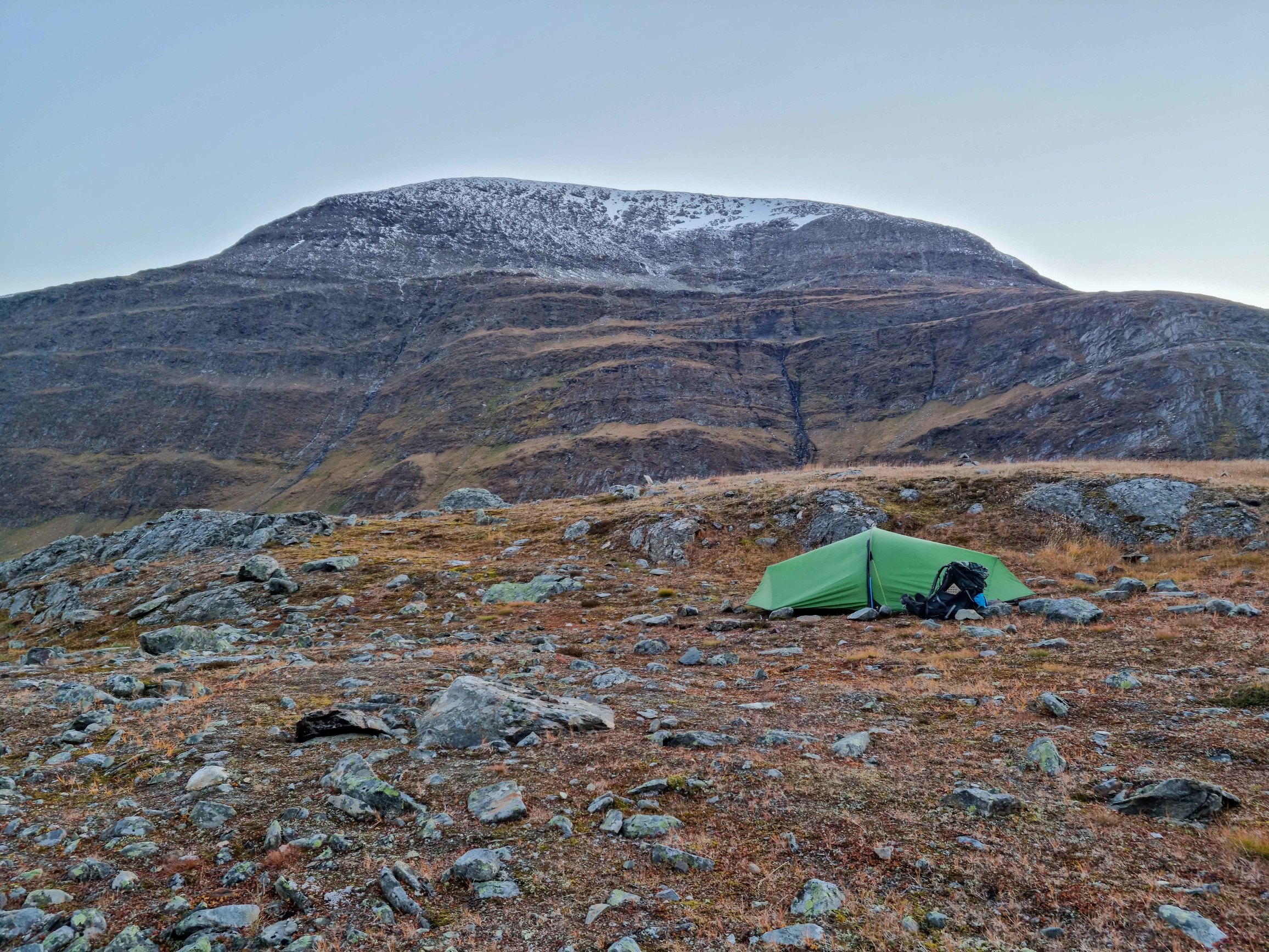
Salka+ - Tjäktja pass - STF Tjäktja-Alesjaure–
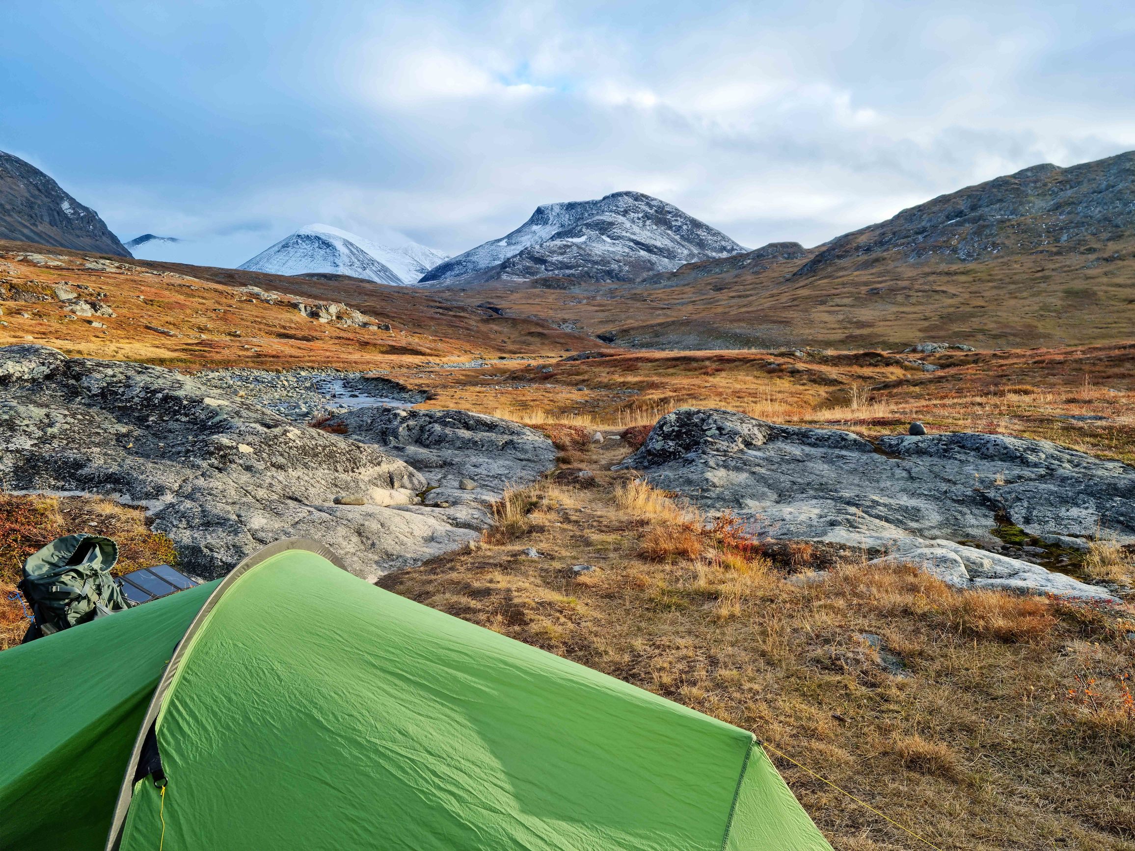
Walking to the pass. That night there was a hard frost. Small streams froze completely, in the bigger ones - water flows under a centimeter crust of ice. Again I curse my camera - the batteries drain instantly. At some point the latch on the lens cap finally breaks. Luckily, in the depths of the backpack there’s a spare lens.
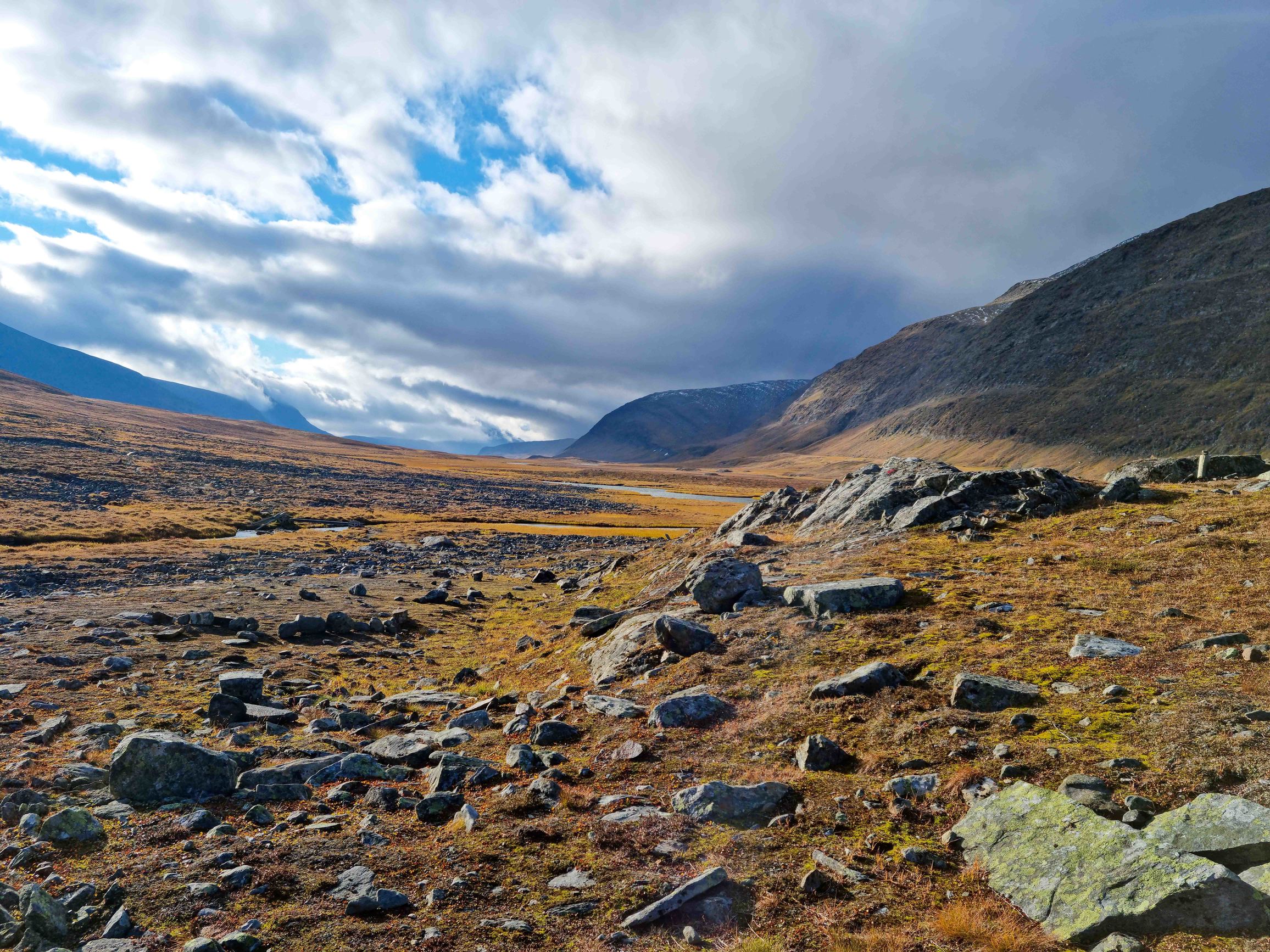
The pass isn’t high. In an hour I reach the shelter right on its top. Make tea. Then - descent past STF Tjäktja. Descend to a river that’s also covered in ice. About 10 minutes trying different ways to cross it. Finally manage and go on - through deserted terrain strewn with rocks. Another small climb, descent, several lakes and I end up by a big bridge. In the distance white peaks again. Beautiful!) Pitch the tent, make tea. And then I notice on the camera screen the text “No sd card!” “@###$!!! @&(##!!!! I don’t believe it! Look for the card in the tent. Not there. Check the backpack and everything nearby. Nothing! @#%!!! {a long string of very rude words aimed at Sony} And the final blow - the card fell out of this camera too. Check everything possible - every rock, every bush, go back to the trail. Nothing. Repeat several times. Zero. Decide to walk back. Walk about 40 minutes, check everything possible. Nothing. Damn it!!! Angry, I return to the tent.
The SD card with three days of photos is lost.
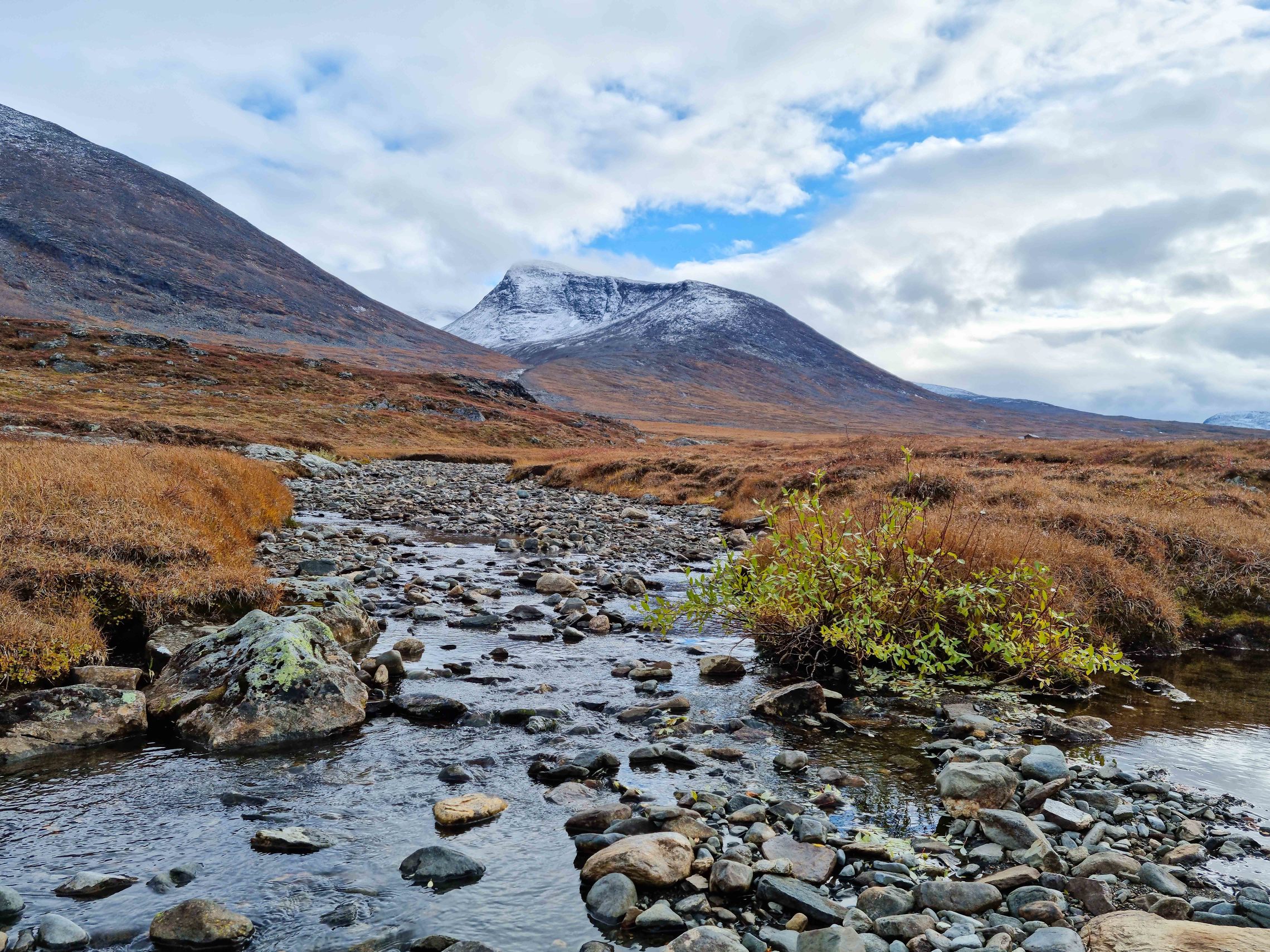
but the views here are excellent!
Alesjaure– - Alesjaure - Abiskojaure
Looks like bad luck found me again!
Wake up from the noise of wind and the tent flapping in my face. Not yet 6 AM. Lie for about 15 minutes. Pull the earplugs out of my ears and it immediately gets very loud. Realize that outside - some kind of hell. Very strong wind. Slightly open the tent. Whoa! The outer layer started tearing. Near the loop where the stake goes in, there’s a rip of about 20 centimeters. Quickly put on boots and jump outside. Wind is very strong. Try to pin the tent edges with rocks and the backpack. They don’t hold. The rip gets bigger and bigger. Eventually pull out the front pole and throw the backpack on the whole back part. The rip is already about a meter. The tent is done for. Angry, I pack things in emergency mode. Being an idiot - pull out the side stakes but leave the central pole and the end stakes. Holding the pole, I can’t reach the stakes. The wind makes the rip even bigger. Basically 2/3 of the back of the outer fly is torn off.
Somehow shove the tent into the backpack.
Angry.
Two more days to Abisko. Where to sleep - unclear. Vaguely remember that at each station they usually leave an emergency room open. A torn tent is very much an emergency case.
SD card lost, tent torn, where to sleep - dunno. Vadym, wanted adventures? Here you go!
Soon I reach Alesjaure. Sit on the threshold of some shed, finally make breakfast, drink tea. Think about this and that.

And….
Ah, to hell with it!
I’m in Sweden, on a trek I dreamed about for three years! About 70% of the photos survived, and there are some shots from the phone. And in the worst case I’ll sleep on the threshold of some hut. I have a warm sleeping pad and a sleeping bag. From the tent I can cobble together something like a tarp. I’ll survive wind and cold. No frost or heavy rain expected. Only one overnight left. In the worst case I’ll be a bit wet and tired.
Cheered up, I go on. Pass the most beautiful lakes surrounded by mountain peaks. Pity I have to walk so fast. Sometimes you want to sit by every little rock and admire the landscapes.
Stop by a small shelter before a crossing (luckily I don’t need to boat anywhere), study the map. Relatively nearby should be a shelter where I can have lunch. Reach it in another hour and a half.
Inside a couple of people are already sitting. Share my adventures and get advice about the emergency room.
The trail goes along lakes, then turns into a valley. A drizzling rain starts. For the first time on the whole hike I put on storm pants. From the valley - descent down

Somewhere here there was something like a small beach. In summer, I think, you could totally take a dip.


After a long descent I cross another suspension bridge and descend into a little forest of scrawny twisted birches. A sign says Abisko park starts here.
Another 30 minutes and I reach Abiskojaure.
Nobody there. Find the emergency room. Open the door. Inside - heat like a boiler room and a guy with a laptop. Say “Hi” and go out for some fresh air ) Turns out the guy works here and leaves tomorrow. There’s a spot for me. And another linguistic surprise - he speaks Russian. Slowly, but quite well. Almost no accent. German, name Nikolai, father from Russia. Damn )) The world is small of course. But sometimes very unexpected people show up next to you. Emboldened by the hot air, decide to dive into the river. Surprisingly, not cold.

In the morning I pack slowly. This is the last day. Nowhere to rush.
A bit sad. 2 weeks and 250 kilometers behind. And suddenly everything ends. The route is finished. The plan is done and all memories are already in the past.
But while writing this post, it’s like walking it again.

Abiskojaure - Abisko
water from the river. Crystal clear.

Damn camera


Another couple of bridges and a couple of lakes. Stop for the last lunch. Sadly look at the river and listen to the water on the rapids.
Should look into what water routes there are here. Maybe next time bring a packraft?

And here’s the famous waterfall near Abisko.

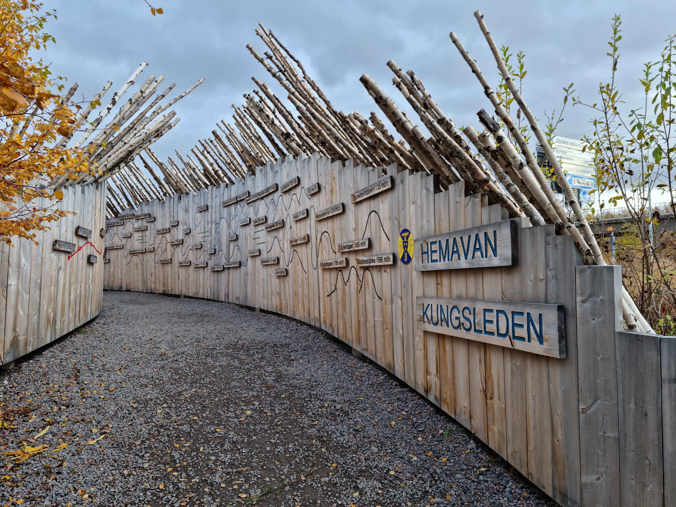
Pass through the park and come out onto a most ordinary road. Nearby - a parking lot, a railway station and some buildings. Try to find the Kungsleden sign. And don’t find it. Want to come out at the right place, not just anywhere :)
Done!

And here’s the exit (also the entrance - depending which direction you go)! All points between Hemavan and Abisko.
Find the STF and enjoy the first shower in a week and a half :)
Abisko
The train is only tomorrow, so I walk around a bit. Decided to go to the local shop. Coffee is clearly loved and respected here.

Hostel kitchen

residential houses against the mountains

Abisko - Stockholm
Train at 5 PM.
Get up early and go for a walk in the park next to the waterfall. Eh… Sad. I’d gladly spend another couple of weeks here.
Buy souvenirs, send a couple of postcards. Take the backpack and go to the small station.
From the train window I look at the landscapes for another couple of hours.
Want to come back sometime!
Thank you, North!


Stockholm


What to take
Gear
- camping gas bought in Stockholm. Usually you can buy it on the route, but this year the supplier had some problems.
- maps - the internet is full of track recordings. Google Kungsleden GPS. For navigation I used Garmin InReach + osmand + maps.cz
- for communication I used the Garmin InReach satellite messenger. It lets you receive and send sms and email.
- photography - Samsung S21 and Sony A6500. About the latter - a separate story below.
- sleeping bag Marmot Helium, comfort rating -9°C
- tent Zephyros 2 Lite. Was torn by wind on the second-to-last day of the hike. In the tent’s defense - it’s about 7 years old and I pitched it very dumb - perpendicular to the wind.
- other clothes - down jacket, fleece, shell jacket, rain pants (used once), base layer, hat, gloves
- boots Bestard Breithorn pro
- Anker solar panel
- usb light
- Jetboil
- backpack Osprey Xenith 88. Weighed about 21 kg on the route (lots of food). A bit big and heavy by itself.
- headlamp BD Storm. Good, but need something simpler. 350 lumens is a big electricity drain, and I don’t need the red-blue-green light show for free.
- pad Therm-a-Rest Neoair XLite. Very warm. No, didn’t puncture it )
- powerbank 20000
- knee braces - didn’t use
Overall everything was more or less fine. Except the boots should have been broken in.
Food
Part bought in Kyiv, part on the route (mostly in Saltoluokta). In Kyiv took freeze-dried meals, Adventure Food (more expensive, but much higher calorie and tastier), in Sweden bought the same Adventure Food (just 15 dollars a pack), dry noodles like Cup Noodles and canned soups. In season food can be bought without problems at any station. But I went at the end of the season and the assortment was limited to soups and beans. How I sometimes dreamed of pizza!))
Water is great - you can take it from any stream, river or lake.
Gas
As a rule camping gas can be bought on the route in the huts. But this year the supplier had some problems and it had to be bought in Stockholm. Took 2 canisters of 230g (at 79 SEK / 9 USD) + 1 of 100g (69 SEK / 8 USD). At the end of the hike in the last canister (230g) there was about 30% left. So I think the 100g one could have been skipped.
Photography and video
Took Samsung S21 and Sony A6500 with a couple of lenses - Sony 16-70mm, f/4 OSS Carl Zeiss and Sigma 30mm f/1.4 DC DN Contemporary Lens for Sony.
And this was the biggest and perhaps only mistake.
This is not a camera. This is a piece of shit.
The lens (for just 1000 dollars) - after 3 days the springs in the cap cracked. Some genius decided to make them out of plastic. No weather sealing against moisture and dust. This lens spent almost the whole route in the backpack. Used the Sigma instead. The battery drained instantly even in warm weather. Sometimes it seemed like it discharges even if you just put it next to the camera. Had to constantly pull out the battery and put it in a pocket. At some point the card with 3 days of photos flew out and got lost. Three batteries barely lasted 1 day. Constantly had to think about charging with the solar panel. Sometimes the USB port in the camera came loose. Every day I wanted to yell at it across the whole Arctic.
For comparison - Canon 6D. Over 5 years it lay in dirt, sand, snow, fell on rocks, a couple of times I broke a fall with it against snow and ice. And nothing! Only the paint peeled a bit. 3 batteries lasted a week. Worked even in a hard frost. You could damn well hammer nails with it.
Conclusion for myself is simple - Sony can only be used for the city. For hikes - out of the question. Next time I plan to take either the good old 6d, or some Canon R.
Video I shot on a freshly acquired S21.
Plans for the future
-
Sarek park routes
-
routes near Abisko
-
winter routes
-
water routes for packraft
-
Nordkalottruta trek
-
learn to ski
-
do winter hikes in the Carpathians
-
get proper winter gear
-
Pamir - Tian Shan
-
really want to do winter hikes (especially on skis). Looking for company
-
replace A6500 with Canon
Misc
Info about Kungsleden
Swedish Tourist Association https://www.swedishtouristassociation.com/ booking hut spots, various info etc.
https://www.swedishtouristassociation.com/areas/kungsleden/
https://www.distantnorth.com/destinations/kungsleden-trail-which-section-of-the-trail/
https://www.novo-monde.com/en/kungsleden-trail-guide/
decent guidebook (there’s an electronic version) https://www.amazon.com/Plan-Go-Kungsleden-complete-Swedens/dp/1943126070
Tickets
Bus schedule https://ltnbd.se/en/timetables/ Note that the schedule depends on the season and is quite unstable.
Swedish railways https://www.sj.se/#/ The closer the travel date, the higher the price. There are both seated spots and sleeper compartments.
Scandinavian Airlines System - https://www.flysas.com/en/ local airlines
Other
Tourist shop (Stockholm) - Sveavägen 62, 111 34 Stockholm, about 20 min walk from the station
Cards are accepted almost everywhere. Even in the toilet (no joke). Paid cash only for the crossings.
Krona rate: 100 SEK -> 11.6$. Can exchange on the way out of the station.
If you plan to stay in huts, it makes sense to pay for STF membership. You get a good discount.